ATTENTION: GPS TRACKING ROUTE
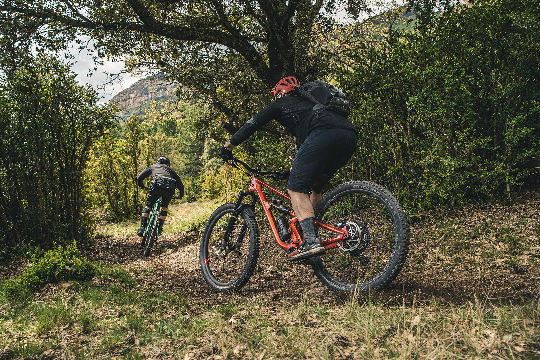
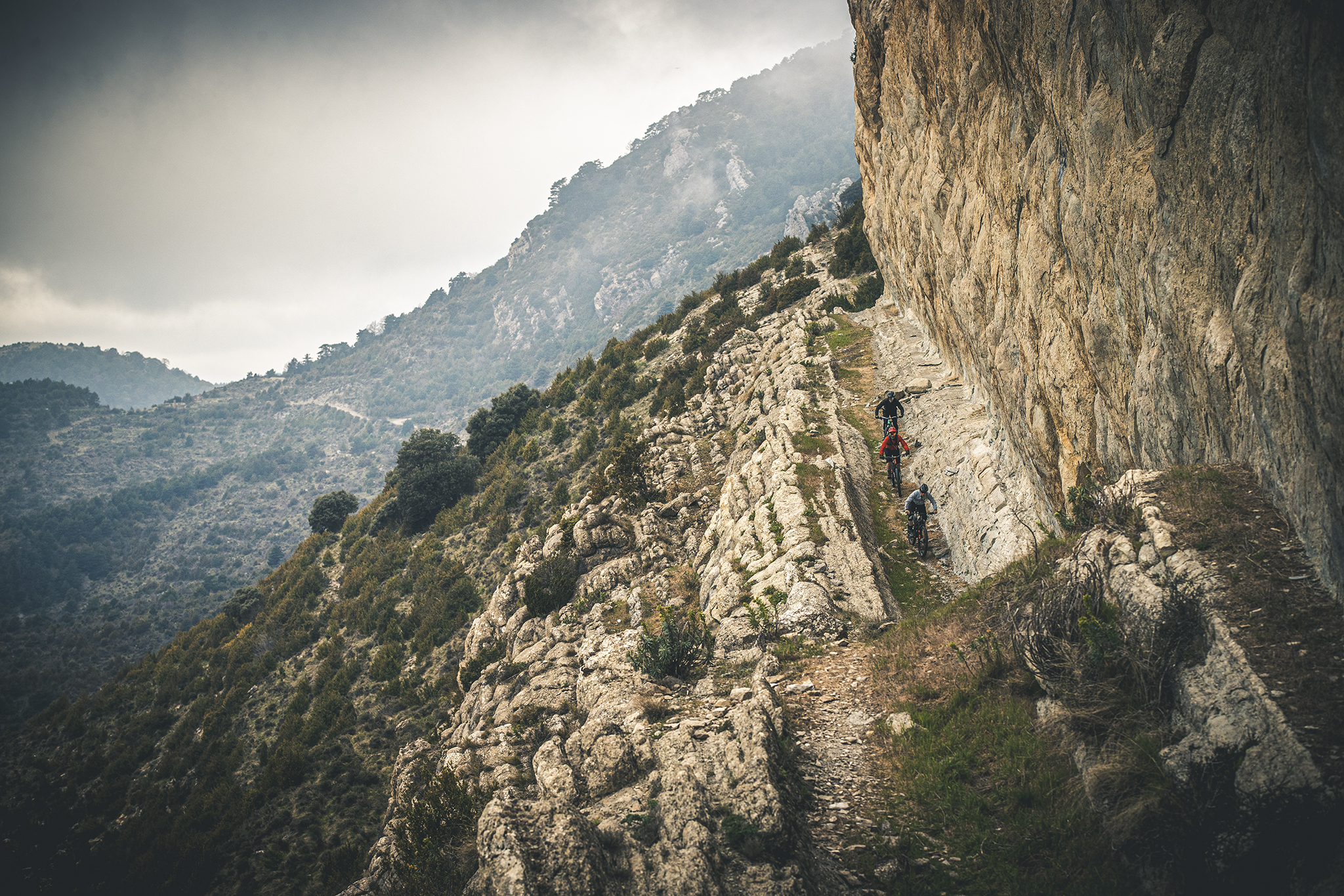
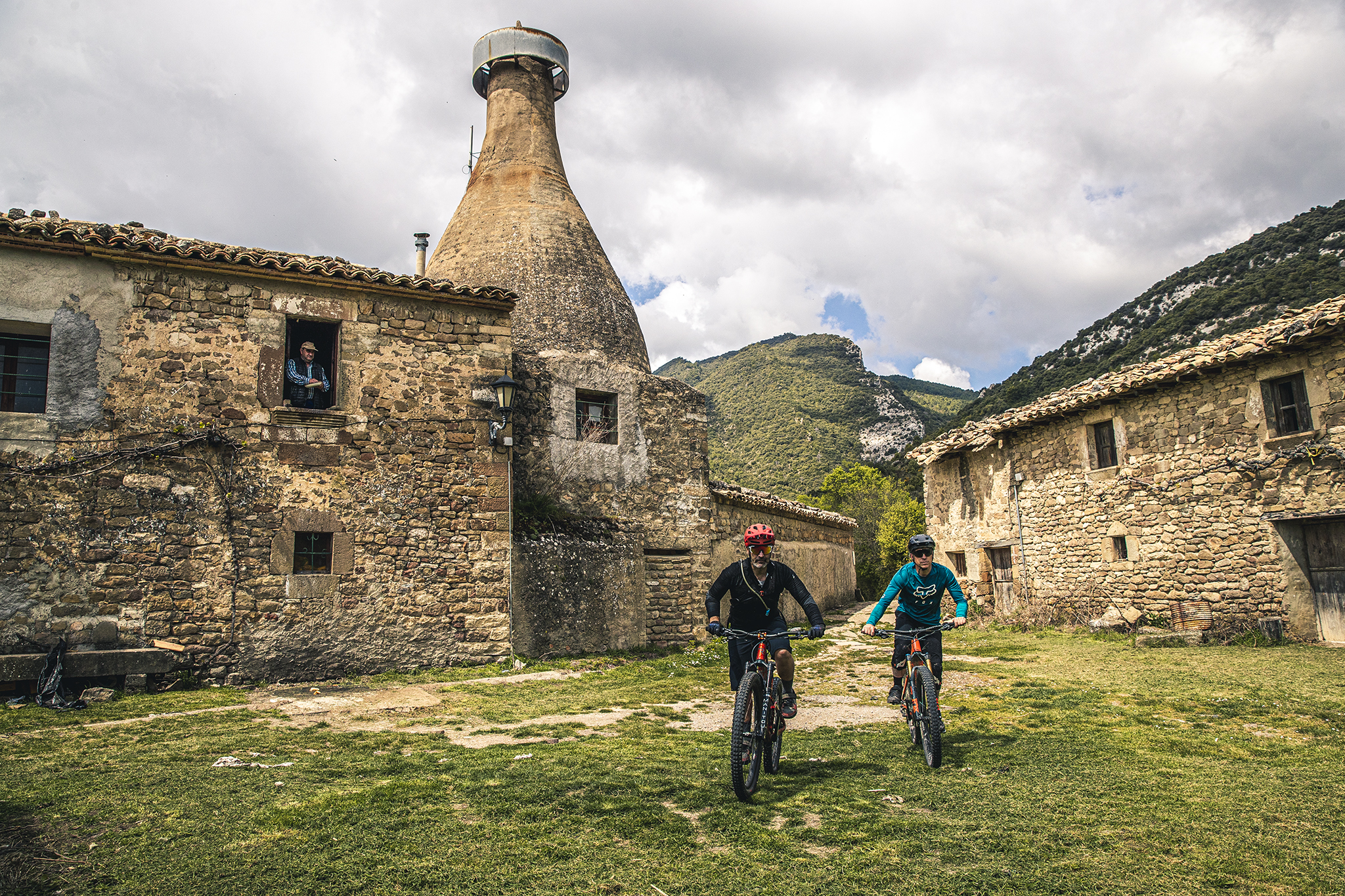
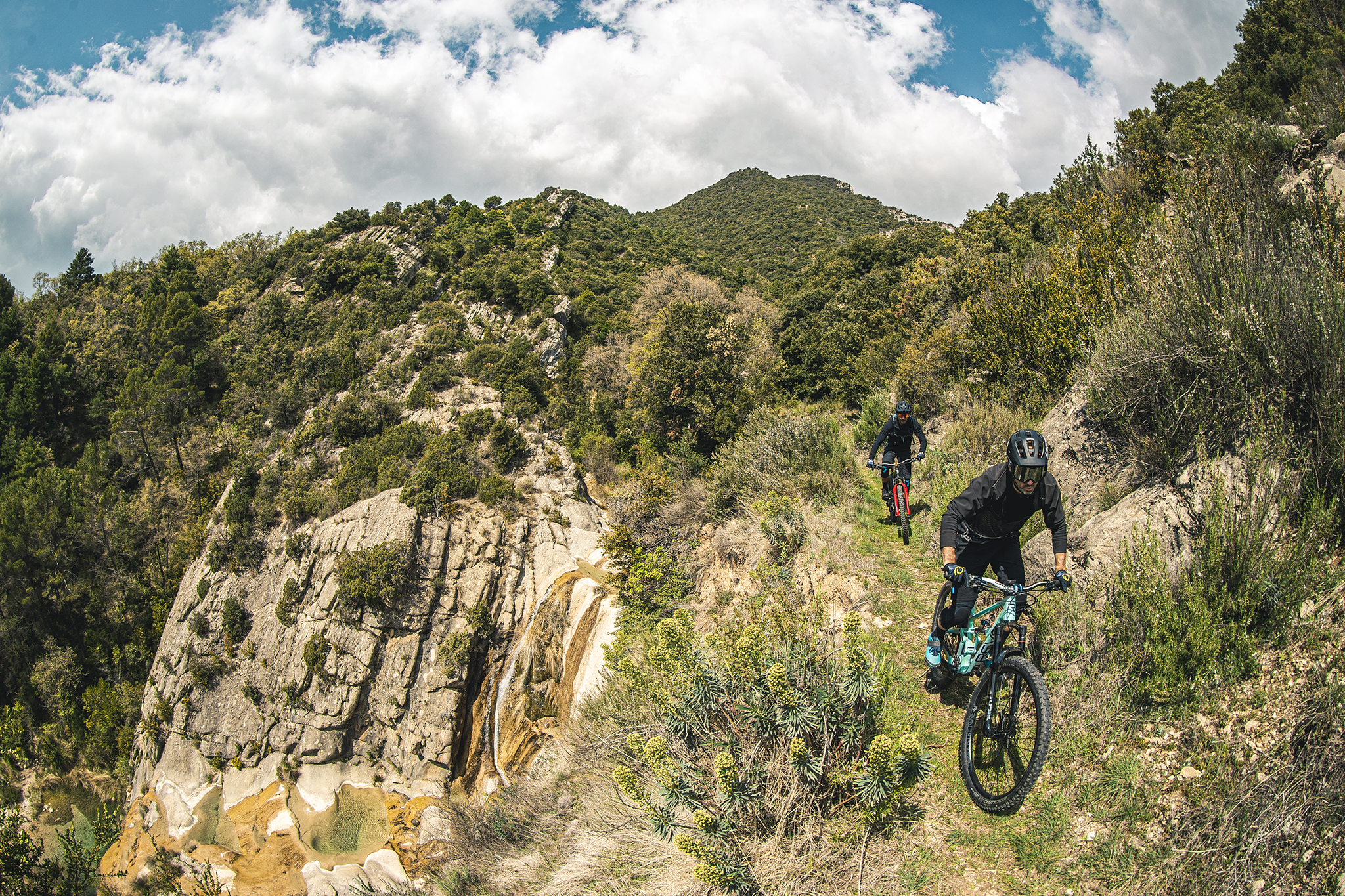
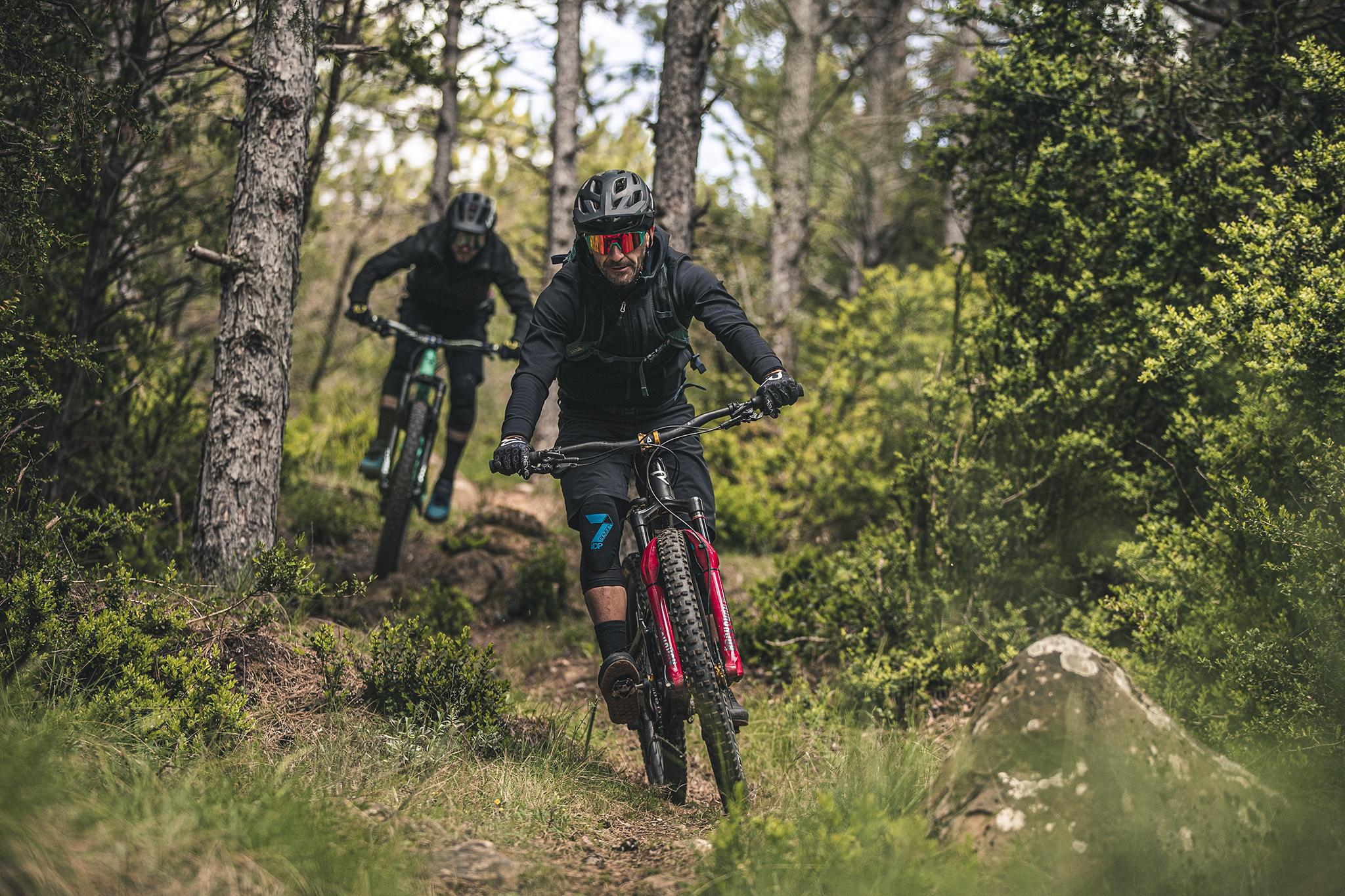
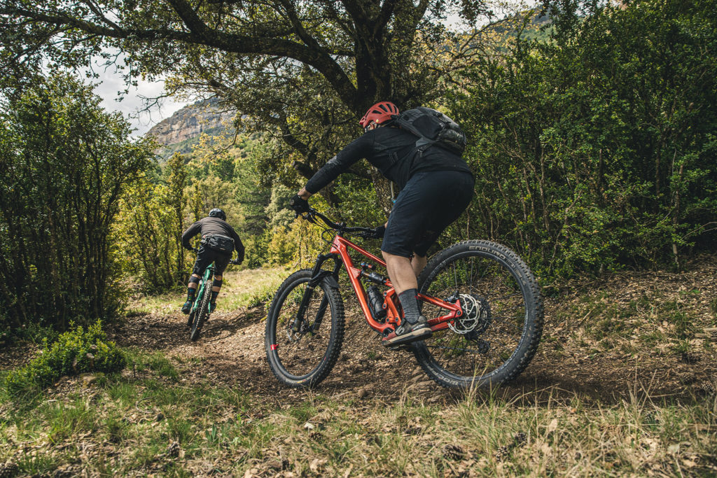
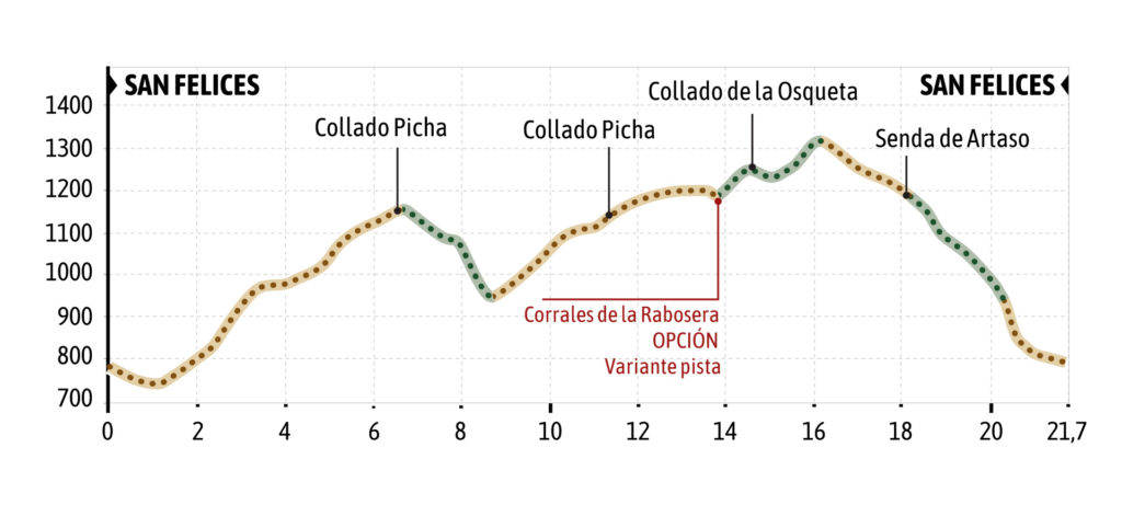
The village of San Felices is located 5 km from Agüero on a well-maintained track, where there is only one resident left. From this quiet village starts one of the most beautiful routes around Agüero, ascending to Collado Picha, Collado de la Osqueta de Villalangua and ending with one of the longest trails in the Reino de los Mallos Bike territory (Mayos Kingdom): the Artaso trail. Two descents by trail (Collado Picha and Artaso), plus a stretch of flanking uphill
along the Osqueta, are the stretches of trail that you will find on the route (this flanking stretch can be avoided if you wish, taking the track that goes just below the pardes of the raya de la Osqueta).
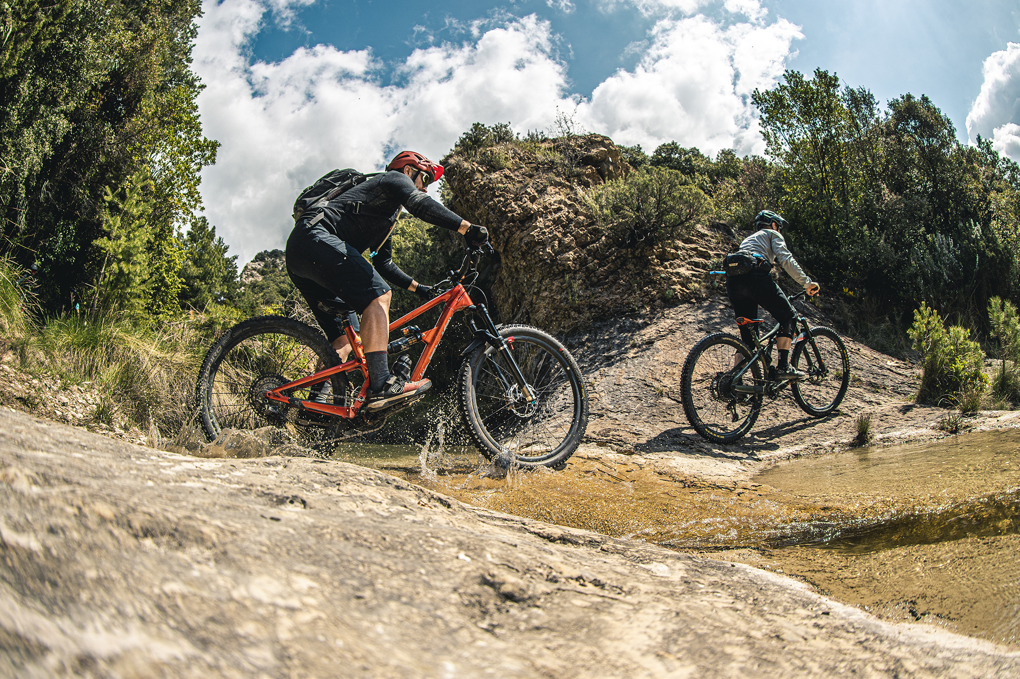
If you feel like extending the route, we recommend you to link from the Collado de la Osqueta with the route 1 Foz de Salinas to Villalangua. In this way you will be able to make 3 descents by trail, and two of them are some of the longest and most beautiful in the area.