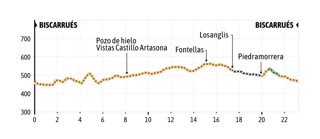
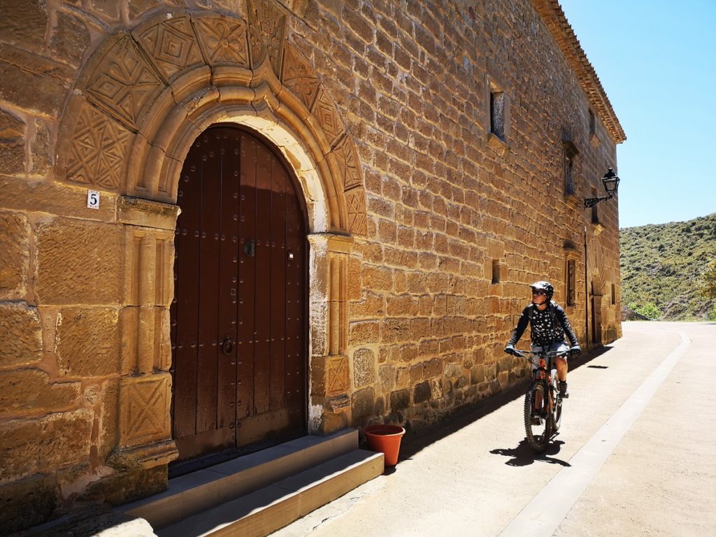
The route begins next to the information panels in front of the social center-bar of Biscarrues. From there it crosses the road and ascends by track for a short stretch, to take on the right the Camino de los duleros (attention there is a short descent down steep terrain) and continue along a succession of tracks between forest and fields with two short ascents, until you reach a hill from which you can see the Hoya de Huesca and Artasona Castle.
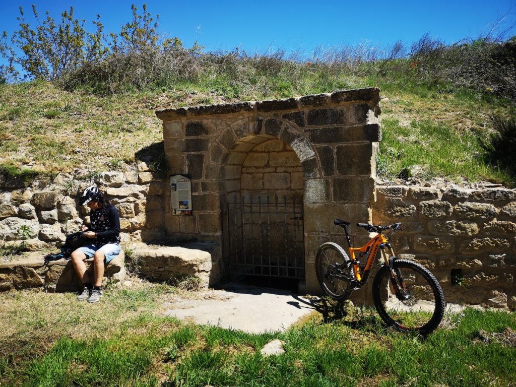
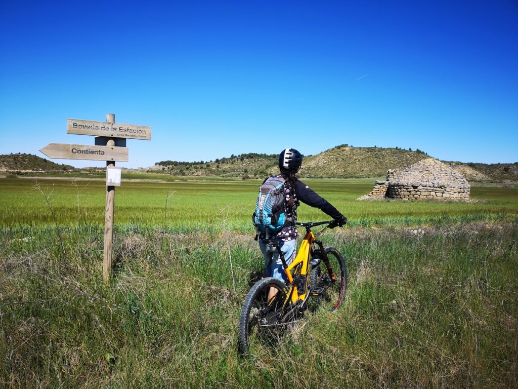
The route descends to this area known as Contienta and reaches the railroad tracks. Upon reaching the tracks, it runs parallel to them along the valley floor and visits an old ice well in a crop field. Then the route continues and enters the Val de Turuñana and passes by the houses of Turuñana before reaching the medieval fountain at the access to the restored
village of Fontellas. Upon reaching the main crossroads of the village, the route turns left, enters the town center and passes by its ancestral and newly built houses and heads towards Losanglis, sharing this last section with the route 4 Carnicrabas. When you reach the Losanglis road junction, you can link up with route 4 and extend the route, or if you want to return to Biscarrues, you have to turn left and continue on asphalt and downhill until you reach the Piedramorrera junction. At this point, there are two
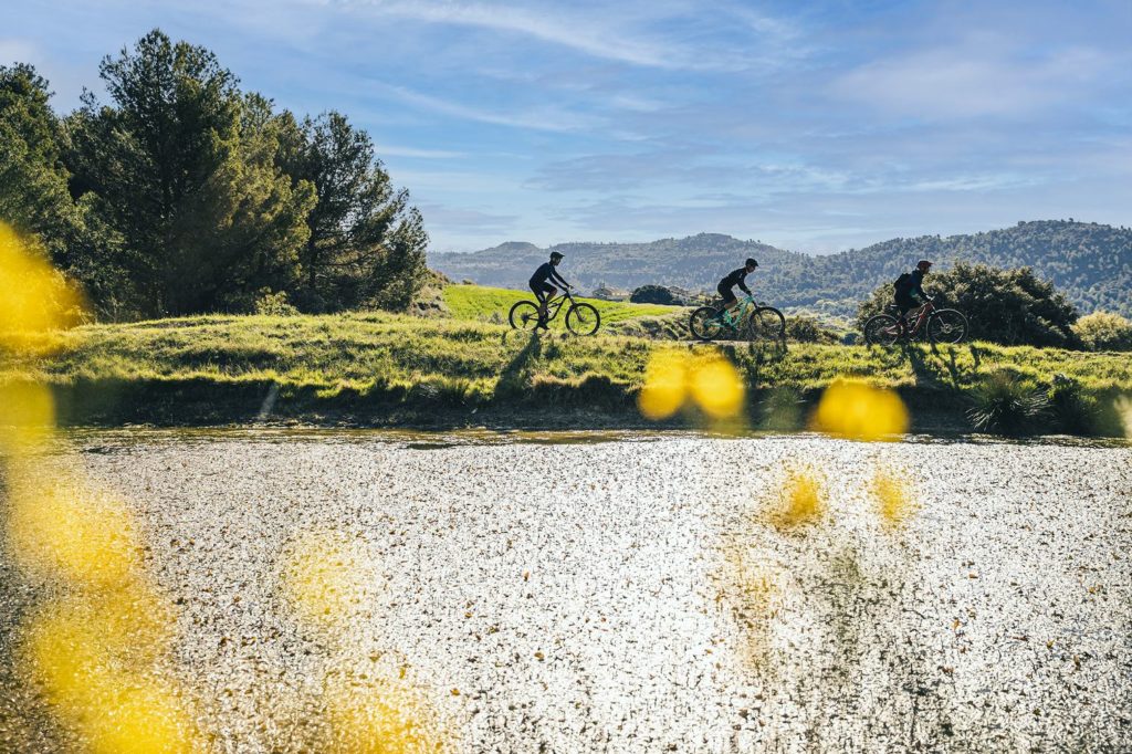
options to return to Biscarrues. Either continue along the road for 1 km more or go up to the village of Piedramorrera and continue to a pond and take an old road that leads to Biscarrués. This short stretch of trail between an area of kermes oak can have stretches of loose stone and a small rock step that can force us to dismount from the bike. If you choose to follow the path, the route leads to a farm track and at this point you turn left and the route enters the town of Biscarrués on the north side.
