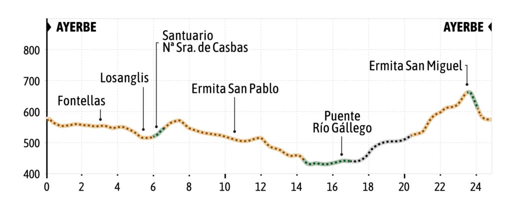
Next to the information panel of the Carnicrabas route, on the road on the way out of Ayerbe towards Biscarrués, the Ayerbe route begins with a first short stretch on asphalt, to then turn left towards the hermitage of Santa Lucia and towards Fontellas.
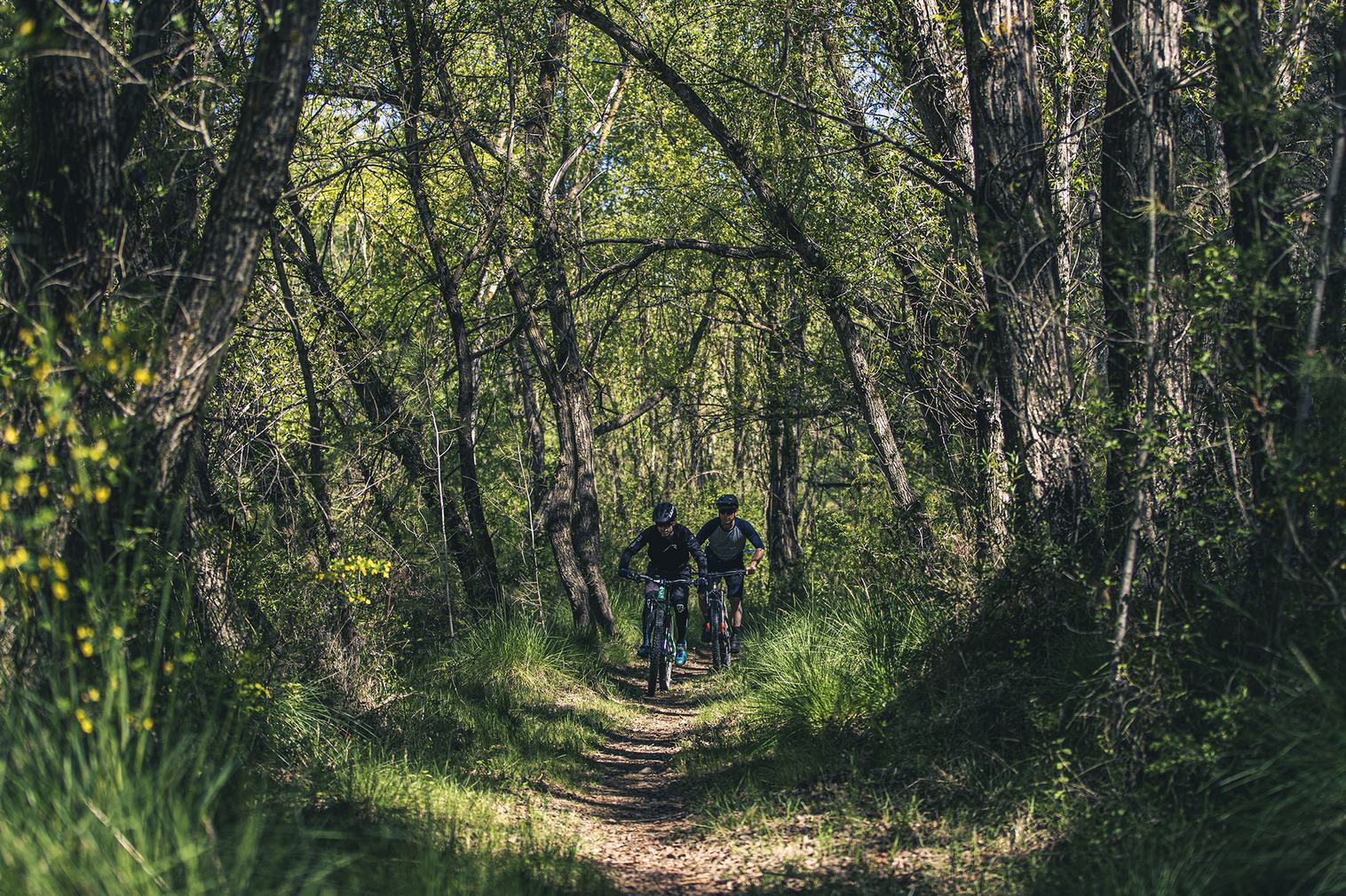
This section of the track runs through fields and holm oak groves. In the vicinity of Fontellas and next to the train tracks, the route turns right towards Losanglis. After crossing the road, we continue towards the town center and at the first street on the left take the track that leads to the Santuario de Casbas (Sanctuary of Casbas). The route surrounds the Sanctuary and connects with a path in the pine forest that goes uphill towards a farm track. At this
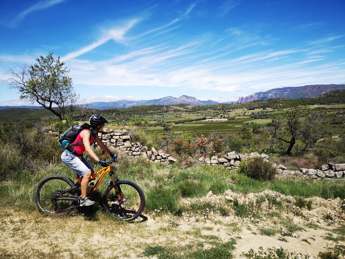
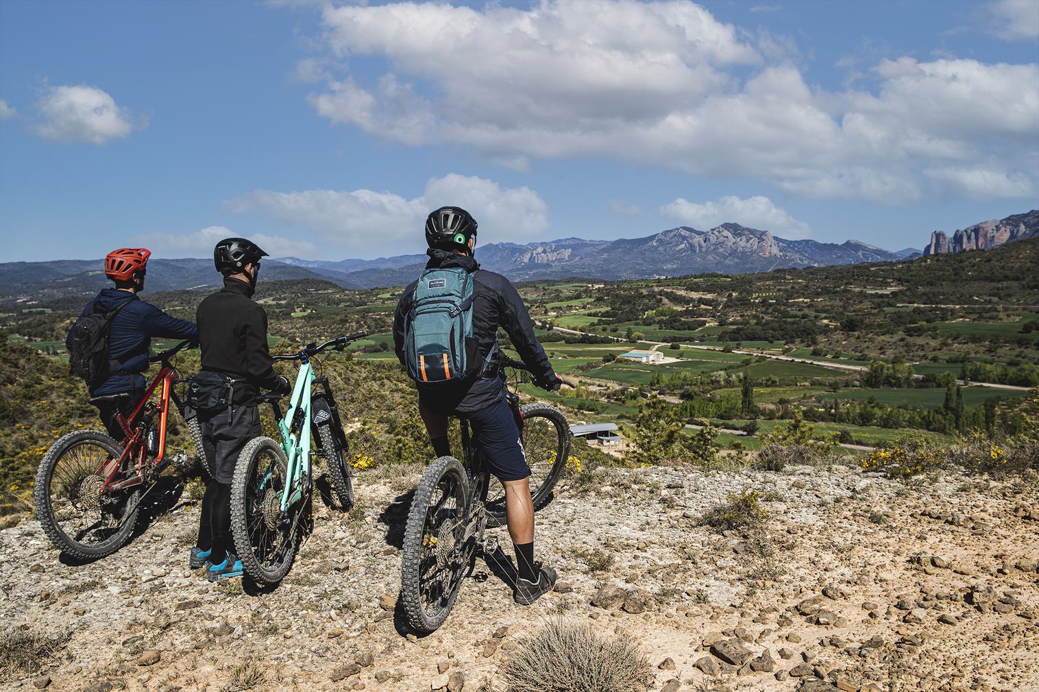
point, turn right and continue along the track until the next crossroads where you must turn left to take the path of the mountain range that ascends to a hill where you can see the Val de San Pablo and the Kingdom of the Mallos. From the hill, turn right and begin to descend towards the Val de San Pablo.
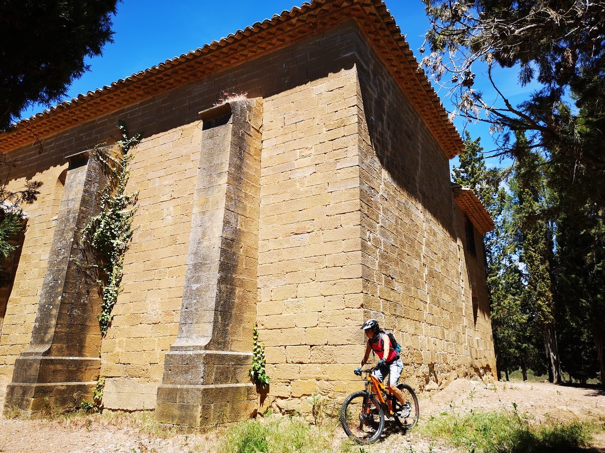
When you reach the depths of the valley, at a crossroads in front of the mountain where the hermitage of San Miguel is located, turn left and continue downhill through this unknown territory of Val de San Pablo. Ignore several crossroads and continue straight on, passing by the hermitage of San Pablo. After passing the hermitage, continue along the main track,
ignoring several crossroads until you reach a T-junction and after a short climb in the vicinity of the Gállego River. There you turn left and begin to descend along the track until you reach the beginning of the path along the banks of the Gállego, which requires you to turn
right to access it. After descending a few steps (which will force us to get off the bike), the trail becomes completely flat and runs along the banks of the river. A stretch of almost 4 kilometers of trail, really nice and easy to enjoy a unique environment such as the bank along the river Gallego. The trail ends in an uphill stretch next to the iron bridge on the road
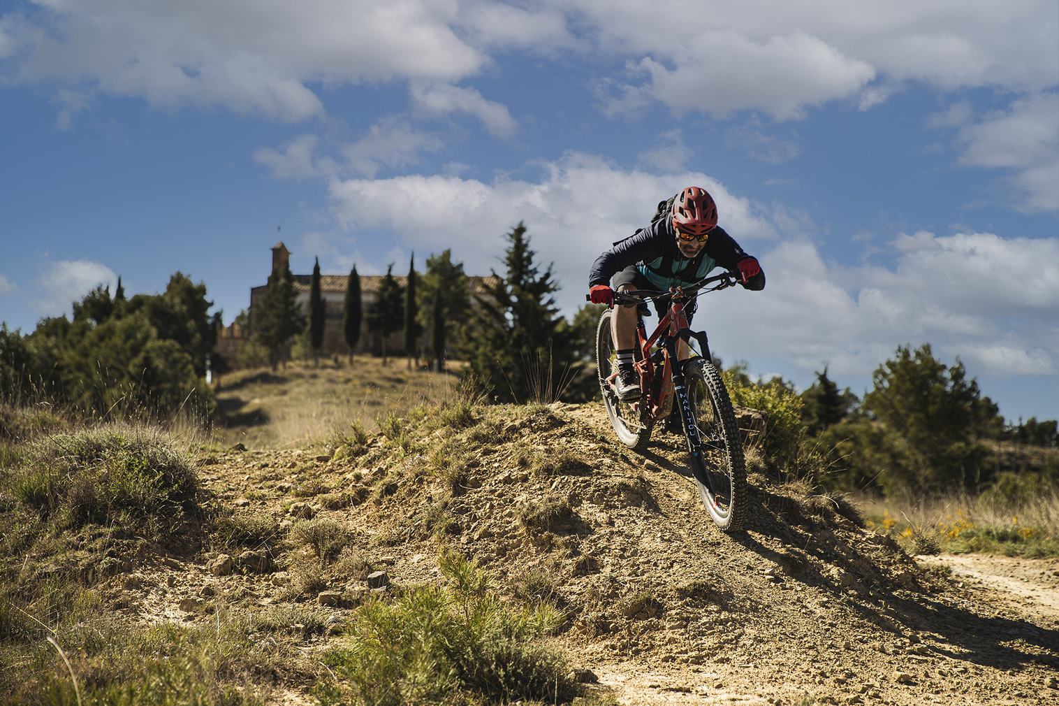
leading to Santa Eulalia de Gállego. The route continues straight on towards Ayerbe and continues on asphalt for about 2 and a half kilometers. When arriving at a pine forest area already in the vicinity of the mount of San Miguel, the route goes up to the right by forest
track towards the hermitage.
At this point, there are several options to finish the route, you can continue by asphalt and arrive directly to Ayerbe. You can continue along the track to the right and go up a stretch through the mountain of San Miguel and at a junction halfway up the mountain, turn left to
go to the Ayerbe water tank and go down from there to the town, or, for those who love trails, make the entire ascent by track to the hermitage of San Miguel and from there connect with Route 10. Cross Country Circuit Refollao of Ayerbe