ATTENTION: GPS TRACKING ROUTE
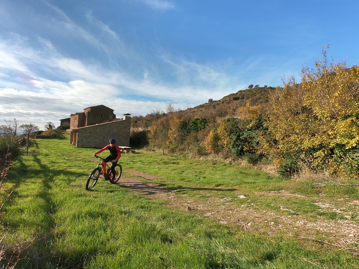
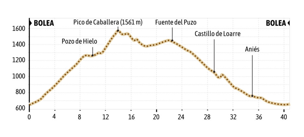
The route starts in Bolea, next to the sign of the Camino Natural de la Hoya de Huesca and the path that leads to the hermitage of La Trinidad. We take the track heading north, passing through areas of orchards until we reach the hermitage of La Trinidad.
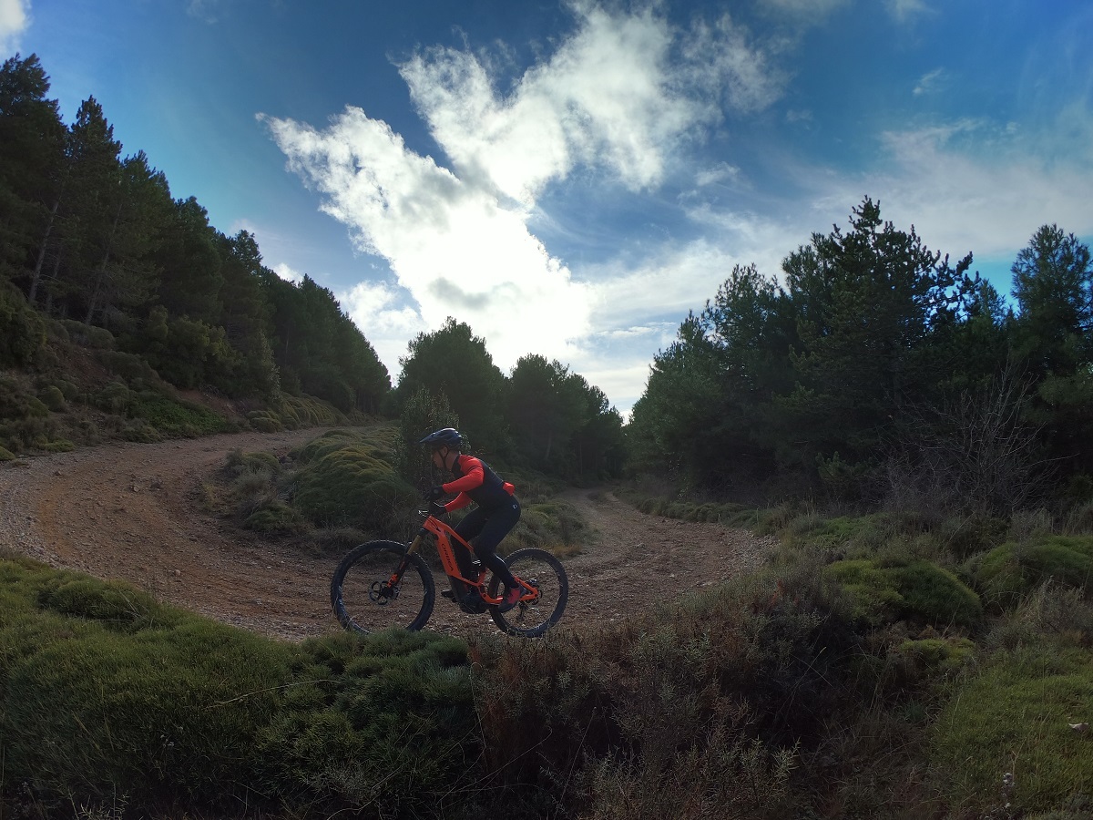
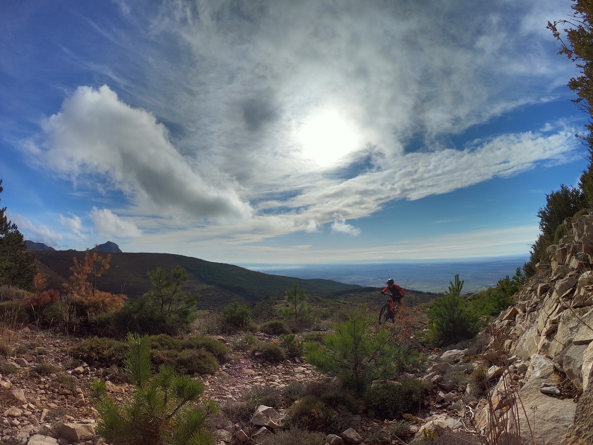
From that point begins a long and demanding climb through areas of scrubland and then pine forest until you reach the snow well of Mata Menuda. At this point, there is a slight descent until you reach the crossroads where route 9 Desafío Caballera and route 10 Ermita Virgen de la Peña meet. At this point, take the track to the right that ascends to the summit of Pico Caballera on a demanding and rocky track. But the reward from the top of Pico
Caballera is worth it: spectacular views of the Pyrenees and the Hoya de Huesca.
From the summit, the route crests and begins to descend towards the Sierra de Loarre on tracks in good condition and entering areas of pine forest, but always at altitude and with beautiful views of the Hoya de Huesca.
The route flattens out and gradually loses altitude. It passes next to the Fuente del Puzo and further on through the meadow of Plan de Lugas, and from there it descends towards the parking lot of the Castillo de Loarre.
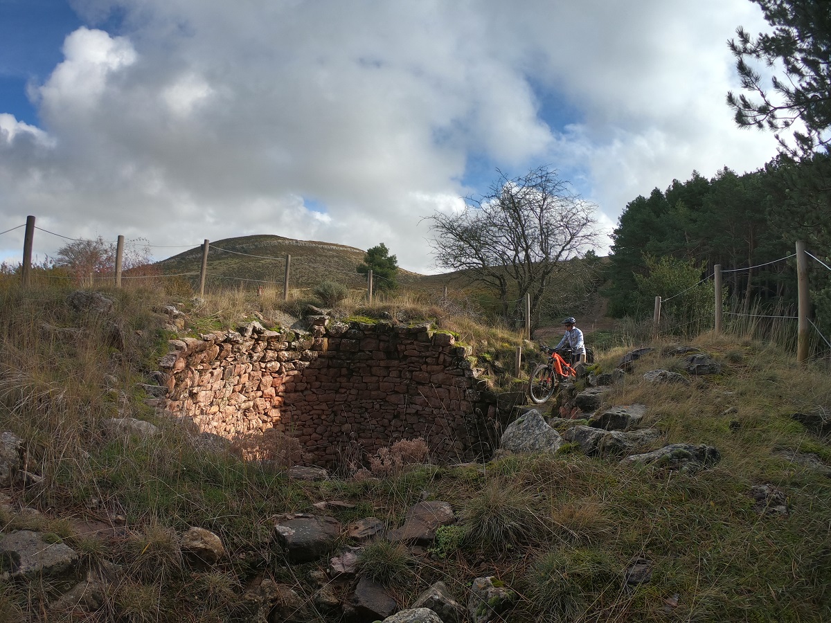
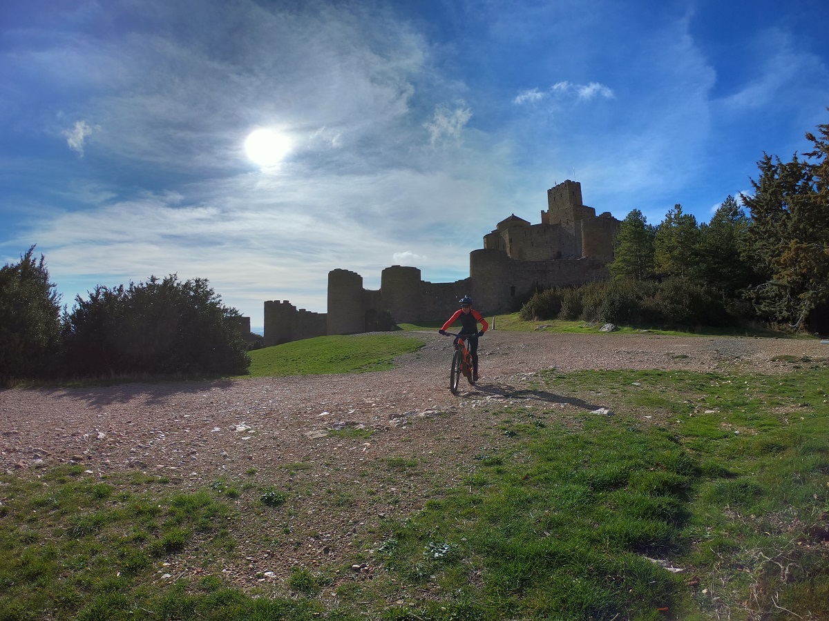
Once at the Visitor Center of the Castle, you must pay attention, as the route goes along tracks and a short stretch of trail, until it connects with another track that goes to the hermitage of San Juan (in ruins). Of course, it is essential to take a photo at the door of the Loarre Castle.
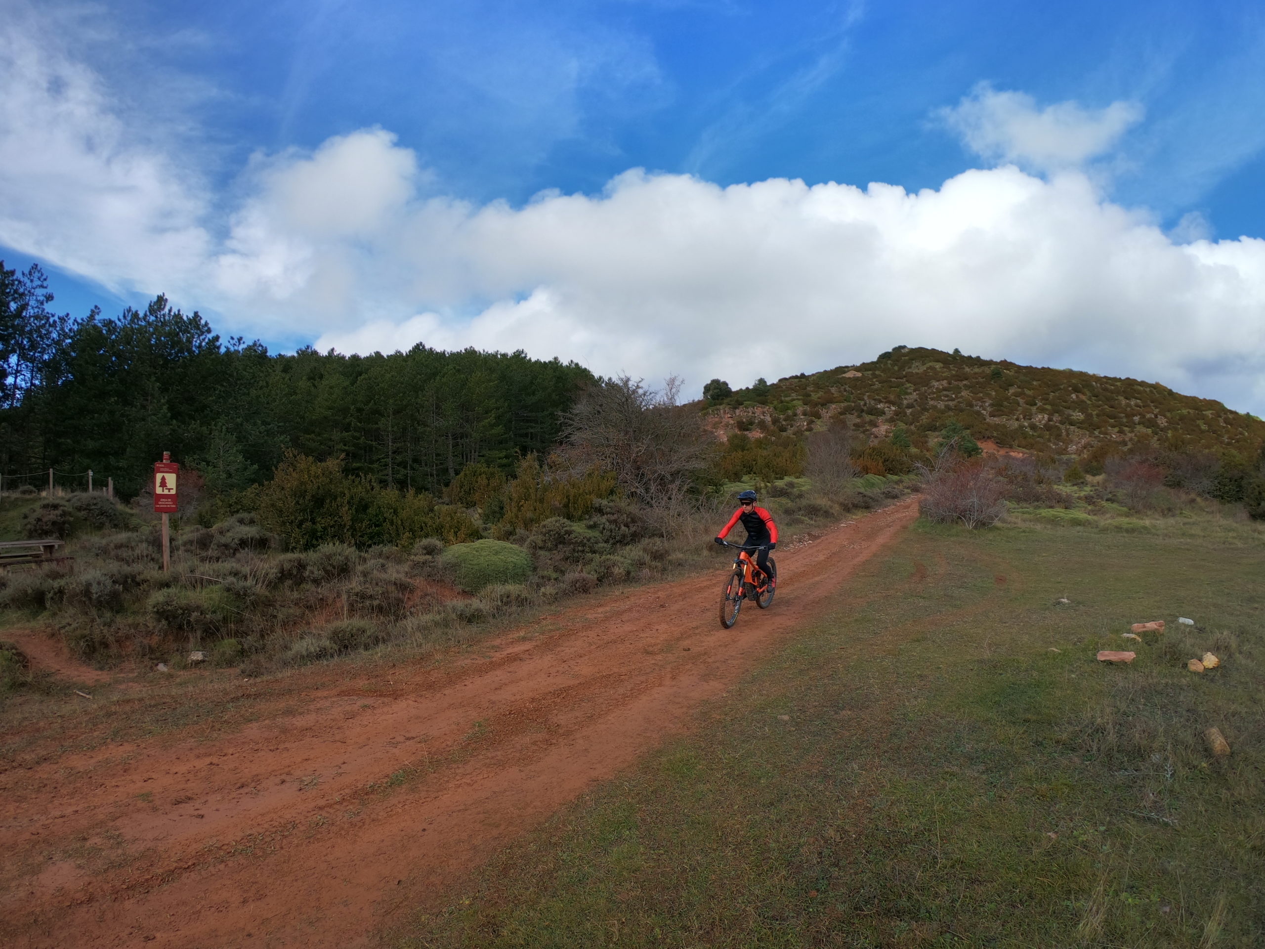
After arriving at the track of the Hermitage of San Juan, there is a stretch of flat terrain through the foothills of the mountains or somontano, passing farming areas and gradually descending towards the village of Aniés.
From Aniés it connects with the Camino Natural de la Hoya de Huesca and continues along this route to Bolea, crossing areas of kermes oak forest (and crossing a short stretch of path), crop fields and passing near the hermitage of Santa Quiteria.
A physically demanding route until reaching the summit of Pico Caballera, from this point on, there will be flat stretches, with slight ascents and mountain scenery with unforgettable views and landscapes