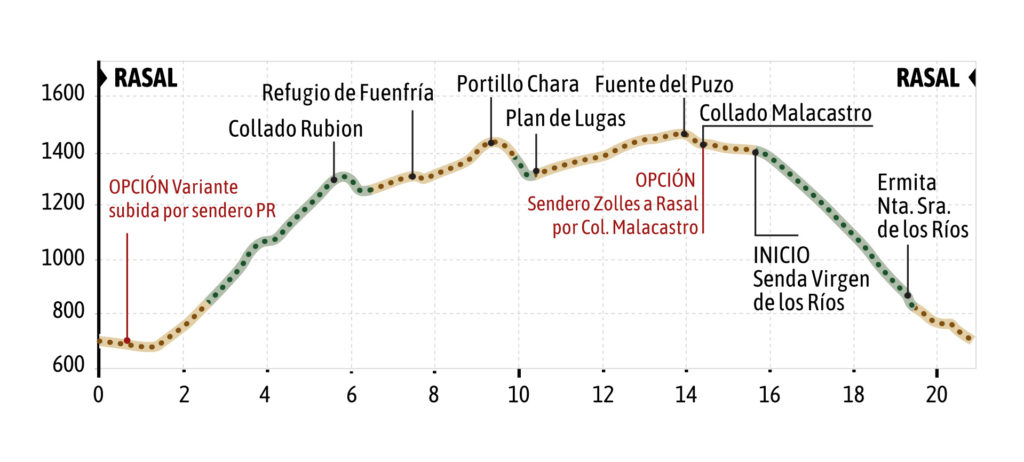
Very demanding e-bike or mtb GPS TRACKING route that leaves from the village of Rasal (T.M Las Peñas de Riglos).
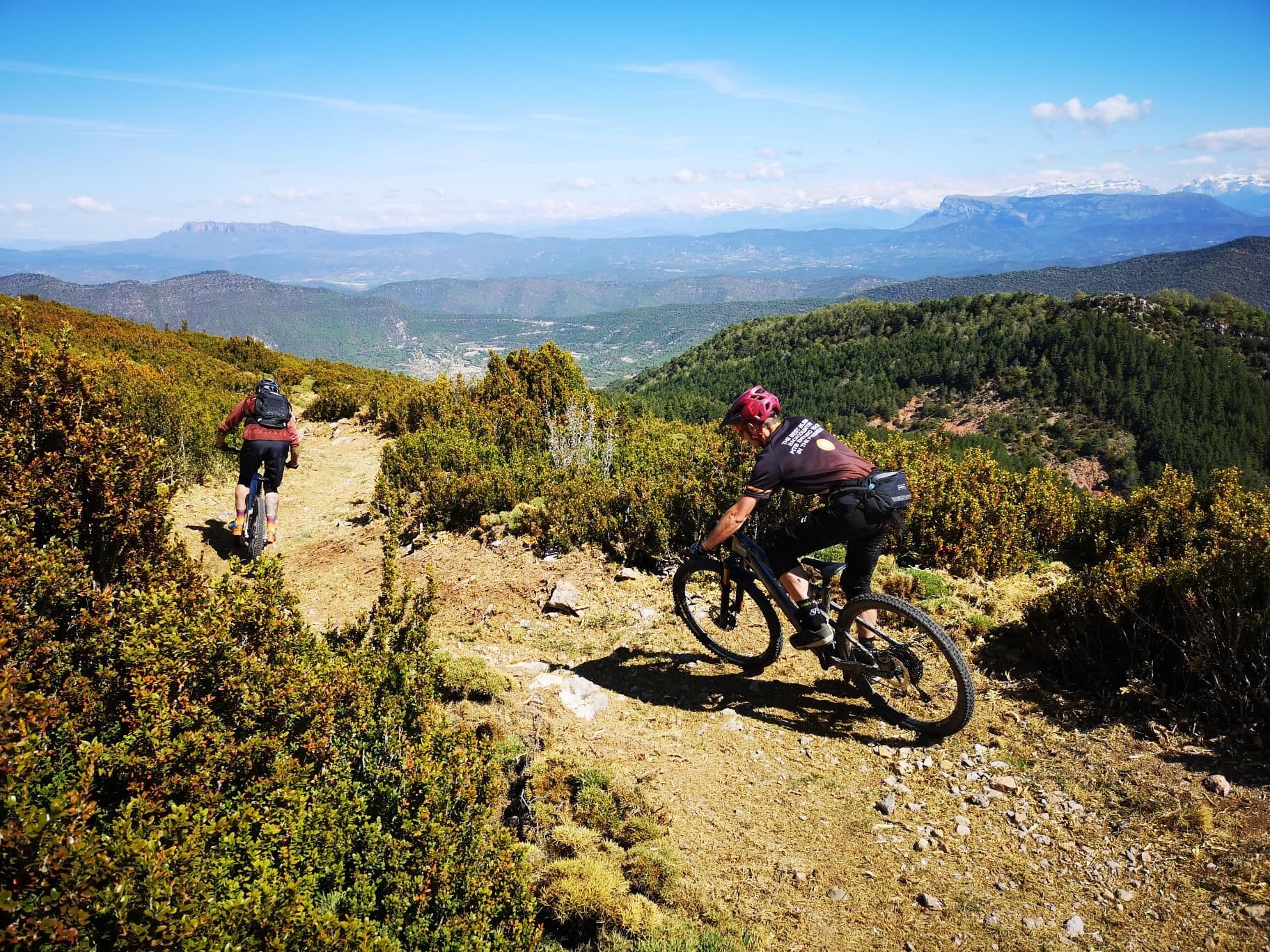
The route starts at the Rasal fountain, goes by road towards La Peña, and soon after, takes a detour to the left along a track following the indication of the PR and the Sierra de Rasal circular path. After crossing the bridge over the Garona River, there are two options, to go up the track or the PR trail that later connects with the track. This is an uphill trail with gentle sections but with some demanding climbs.
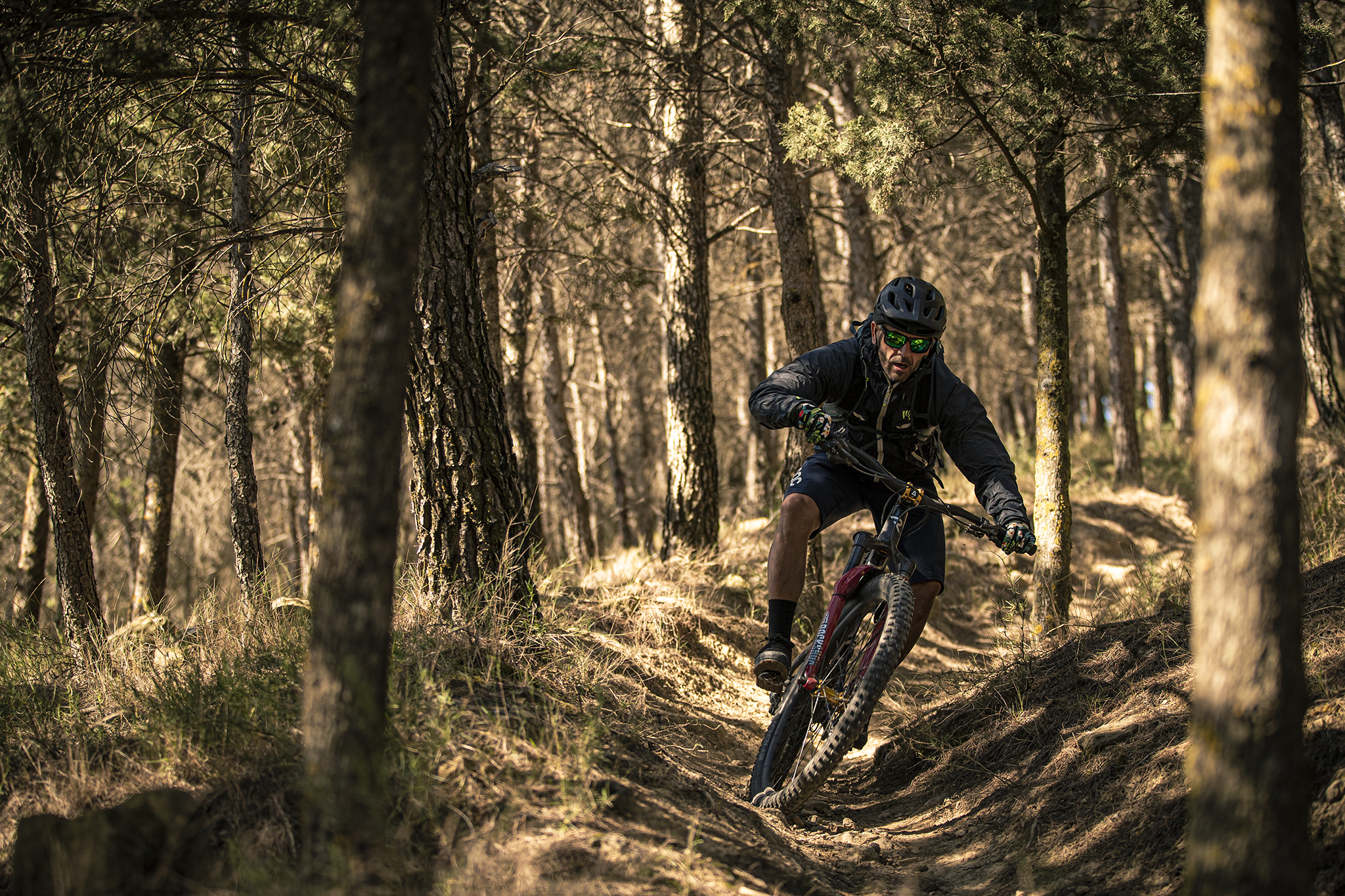
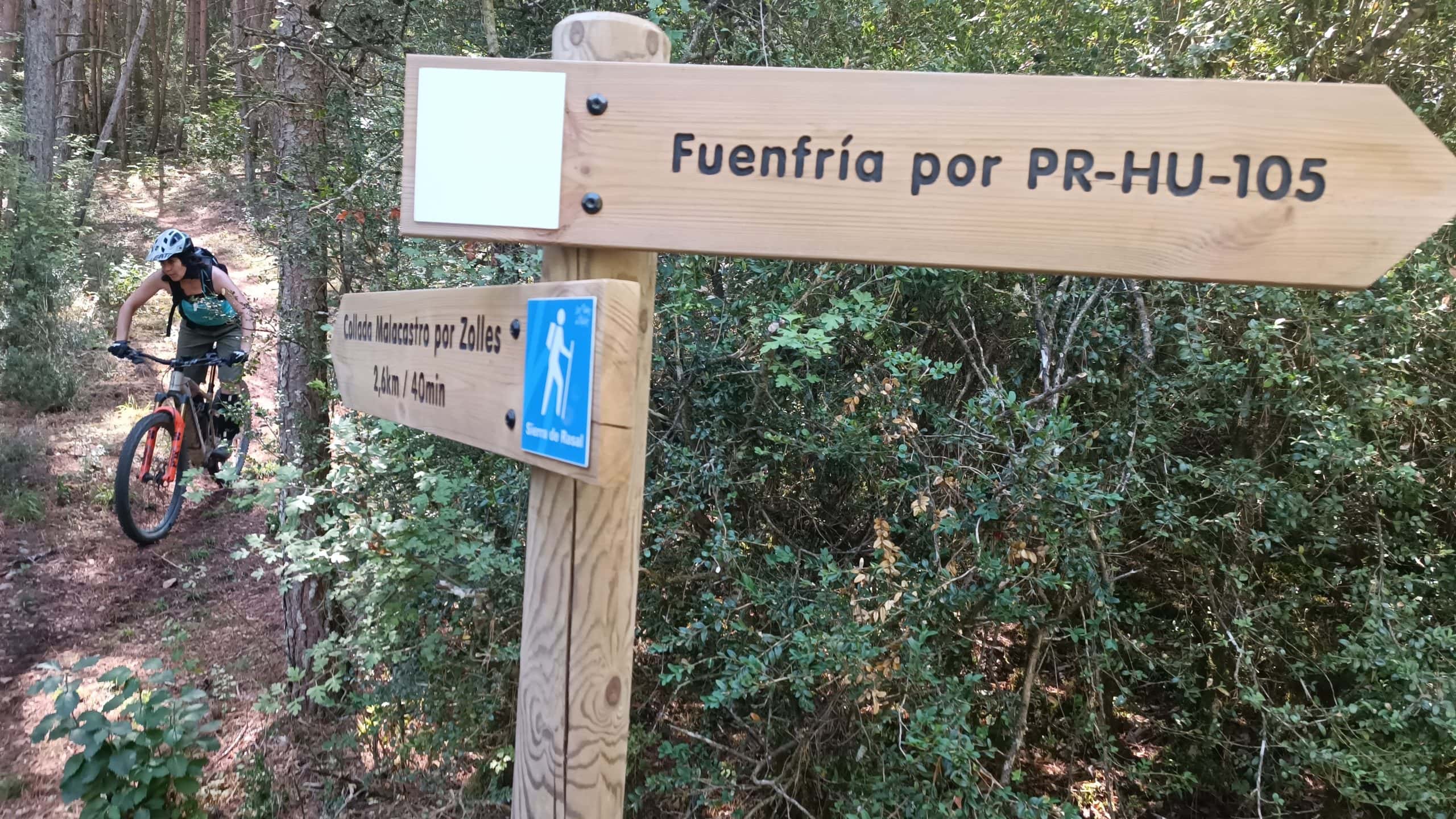
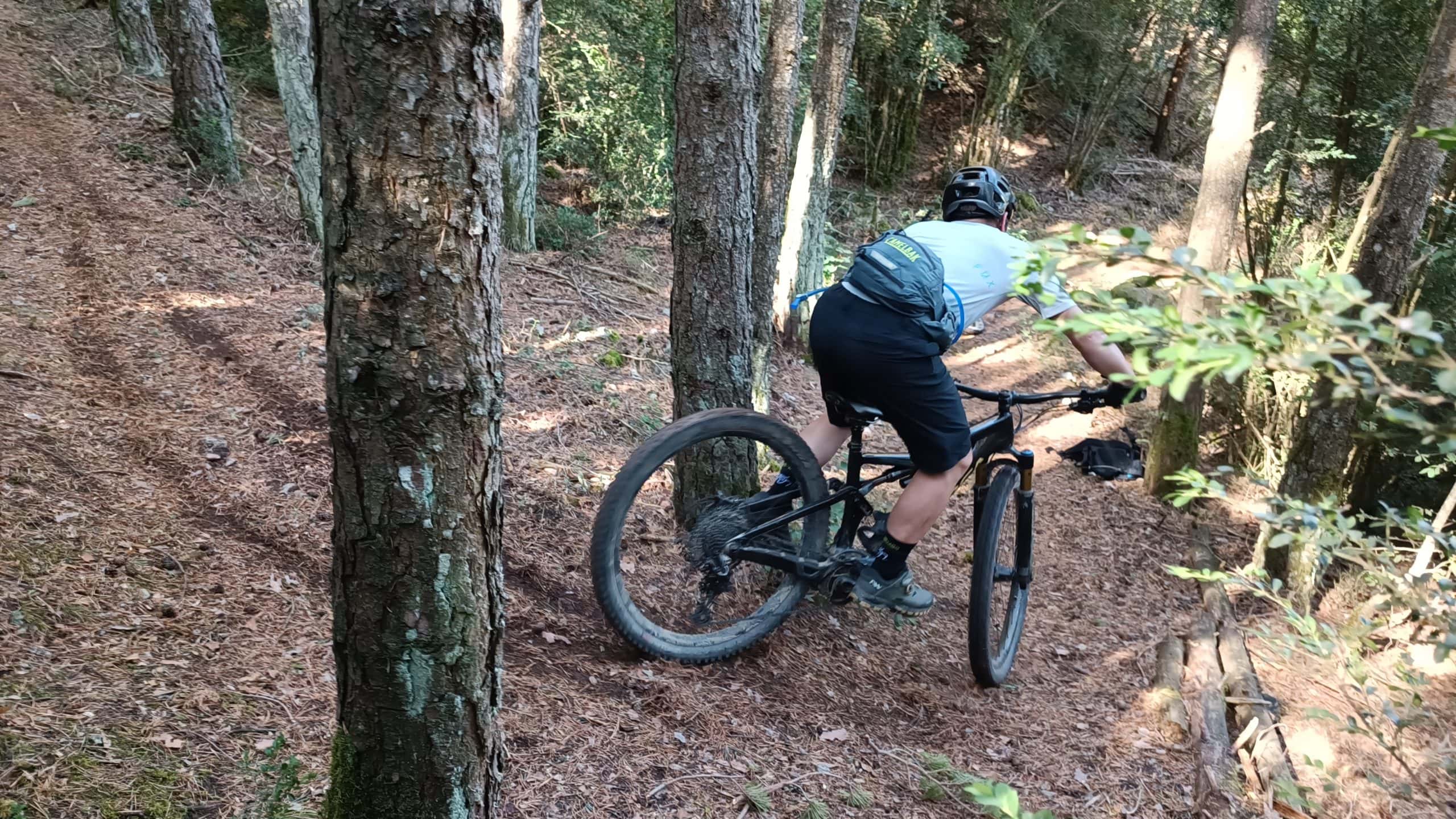
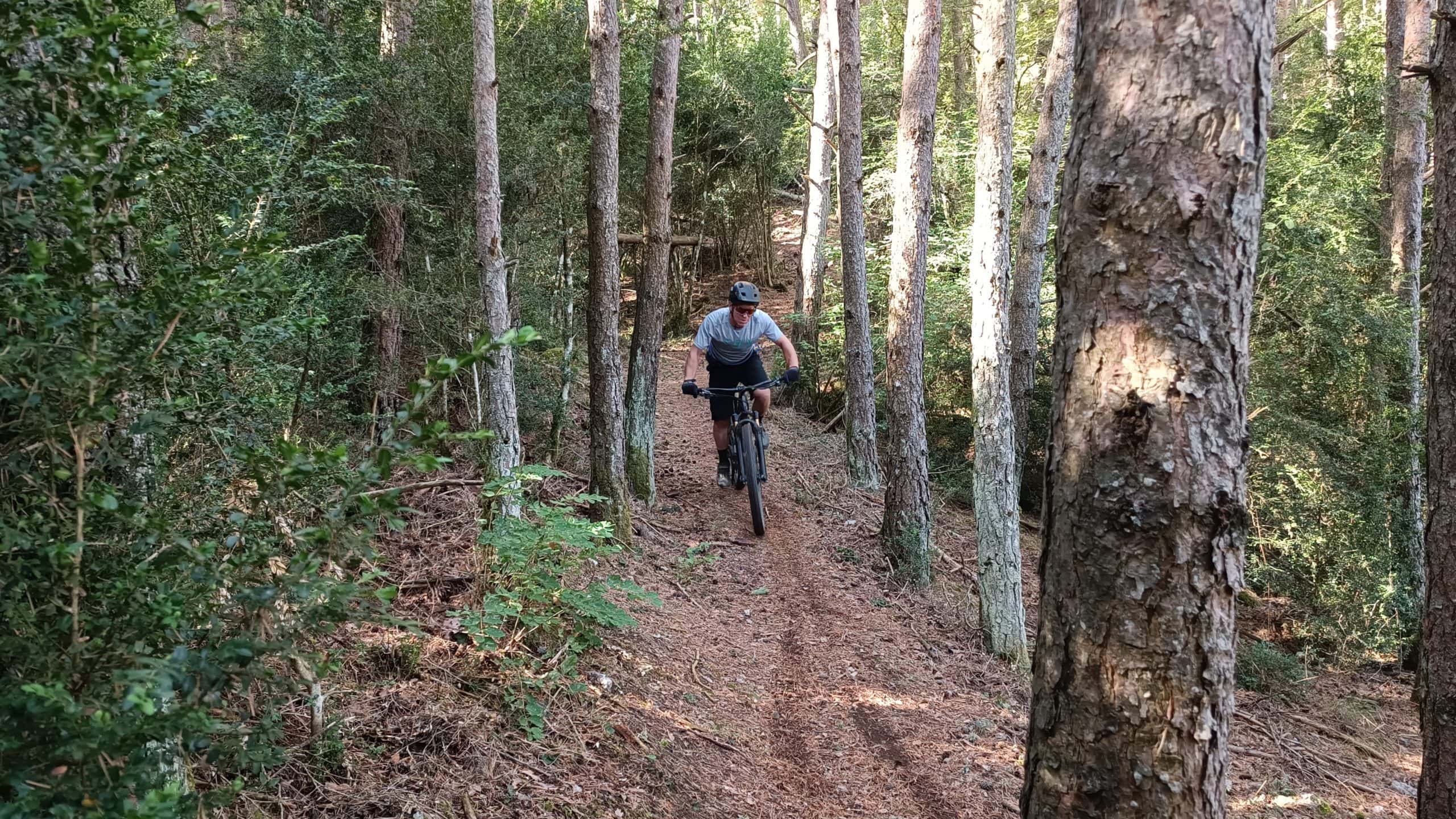
Whether you follow the track or the trail, the route enters the pine forest towards the Foz de Loarre, and soon the track becomes a trail. From this point and following the indications of the PR in the direction of Fuenfría, a demanding climb along the trail begins. The route passes next to the bifurcation of the path of the Camino Sierra de Rasal by Zolles and the PR to Fuenfría which is the one we should take to continue.
The route continues ascending through the forest until it reaches the Collada Rubion. From this point there are several descents and ascents until it connects with a track. At this point we continue to the left towards the Refugio de la Fuenfría.
Before reaching the Fuenfría refuge, the route crosses the path that ascends to Collada Chara, where the telephone antennas are located. The route proposes to go up the trail to the Fuenfría Refuge, but it is possible to go up the trail to Collada Chara (without passing through Fuenfría) by a hard and demanding climb on a path between boxwoods and forest.
In the case of the proposed route, we continue along the track and reach the Refugio de Fuenfría, one of the most beautiful spots in the Sierra de Loarre.
From the Refuge we continue along the track uphill until we reach a crossroad, where we continue straight on towards Collada Chara, the hill where the antennas are located. When you reach the pass you descend by track to the plain of Plan de Lugas (there is an option to descend by a short path to the same point). From Plan de Lugas we continue by track going up to the Fuente del Puzo and continue until we reach the Collado de Malacastro.
In the Collado de Malacastro there is the option to continue the route, as proposed by the trip in the direction of the path of the Virgen de los Rios, or at that point, descend to Rasal by the Zolles trail, an easy and smooth descent through the forest that connects with the trail that we have used to climb from Rasal to Fuenfría and by which we arrive, in the opposite direction to the starting point in Rasal.
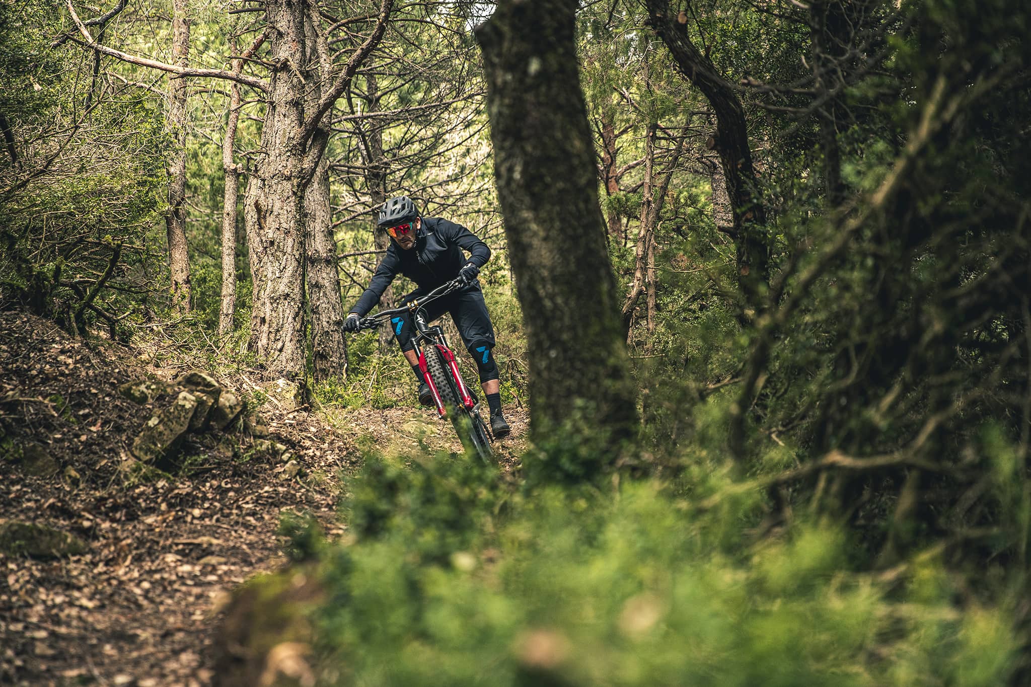
Our route continues along the track until we reach the Collada Calvé and a little further on we reach the beginning of the PR trail that descends to Rasal passing by the Ermita de la Virgen de los Rios. This trail recovered in 2022 is a trail with two distinct parts. The first part, along a rocky path between erizones and a second part that goes into the pine forest and down a fast path until it leads to a track, very close to the hermitage of the Virgen de los Rios (hidden on the left before joining the track).
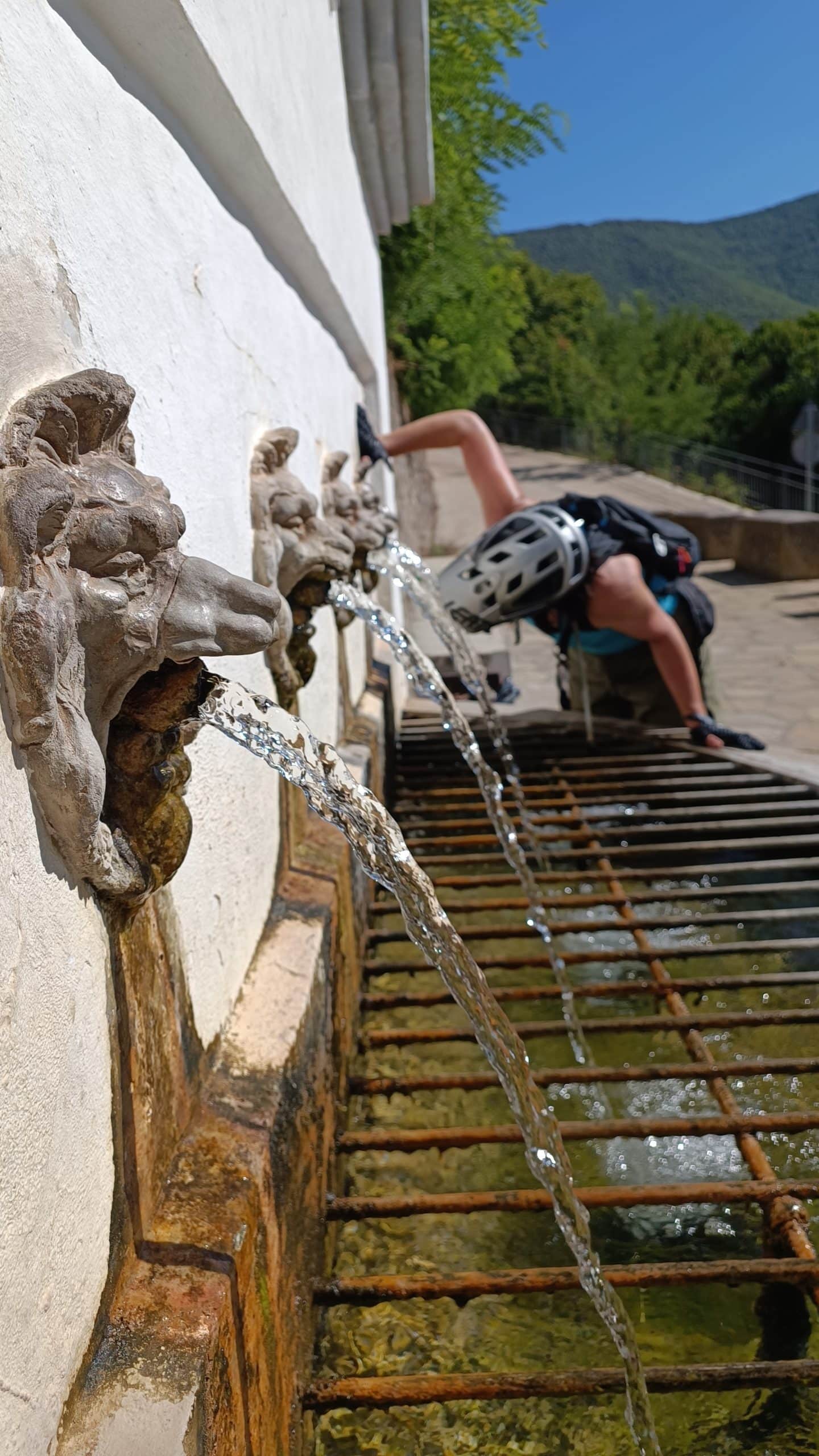
When you reach the track, you continue descending until you reach the starting point at the Rasal Fountain, one of the best water points in the territory of the Kingdom of the Mallos.
An enduro route with an uphill trail that offers two options, the descent along the path of the Ermita de la Virgen de los Rios, as proposed in the track or down the path from Zolles to Rasal from the Collado de Malacastro.
The name of Mapache Loop, comes from the moment in which the Zolles and Virgen de los Rios trails were being cleaned, when the first raccoon (invasive and reintroduced species) was discovered in the Sierra de Loarre and in Aragón.