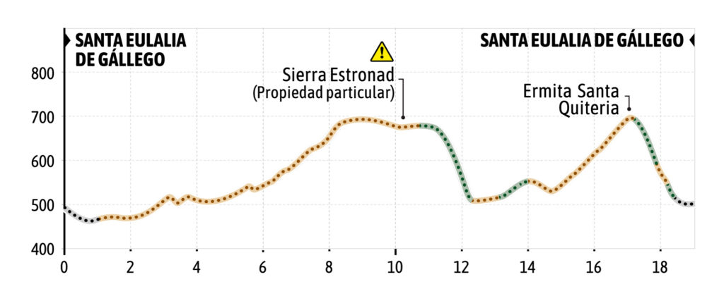
The route begins at the southern access to the town of Santa Eulalia de Gállego, next to an information panel of a mountain bike route of the Comarca de la Hoya de Huesca and an area of garbage cans. The route begins on asphalt towards Ayerbe for 1 kilometer and when arriving before the descent to the river and in front of a large oak, take a farm track to the right that goes towards a farm and then goes up for a good stretch through pine forest until
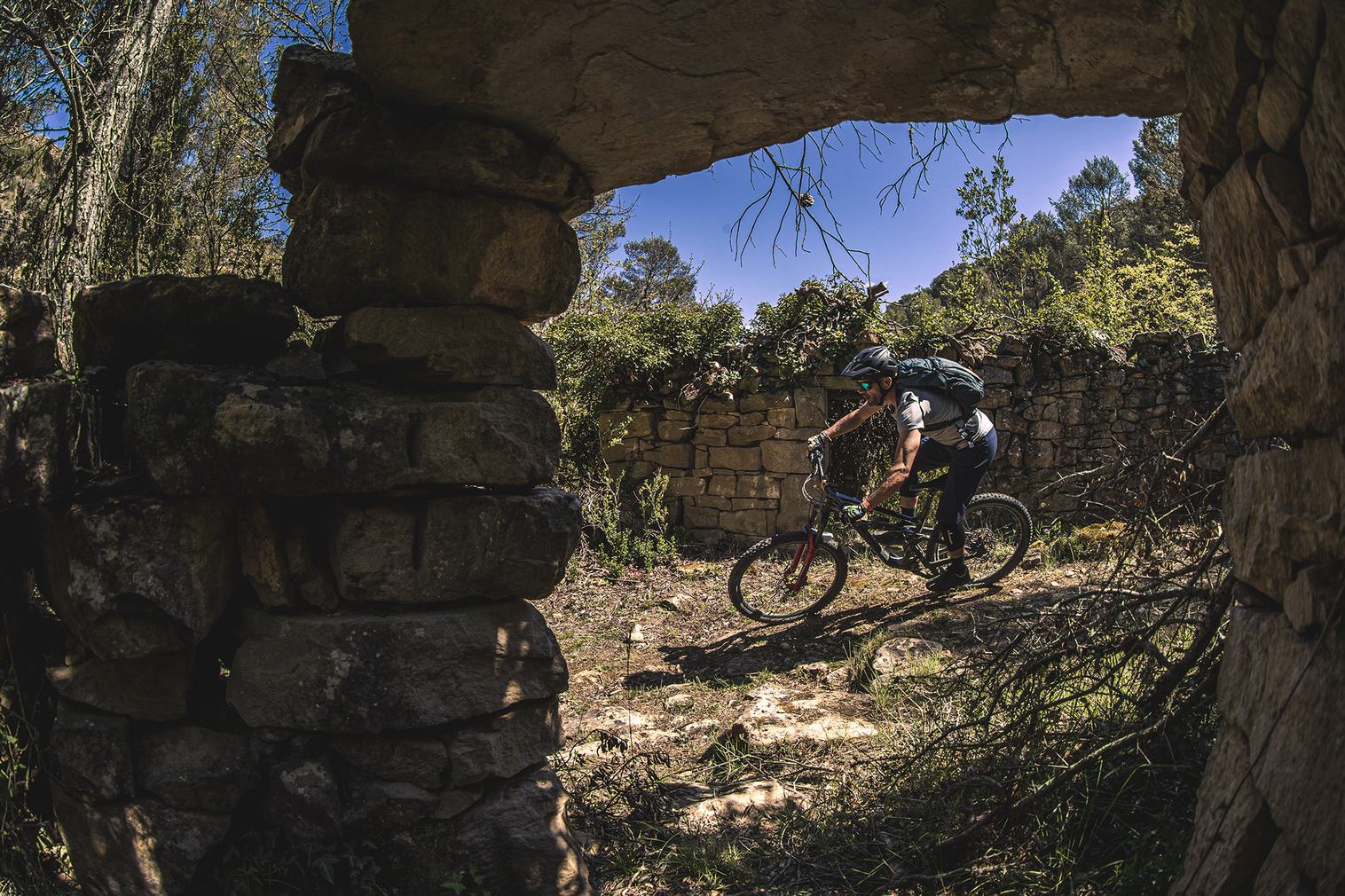
you reach a hill. At the hill the route turns left and enters the Sierra Estronad. It is a restored village and it is a private property in which they also have cattle loose in the vicinity of the village. Therefore, please do not disturb the livestock, nor go into the restored town of Sierra Estronad, if you do not have permission from the owners.
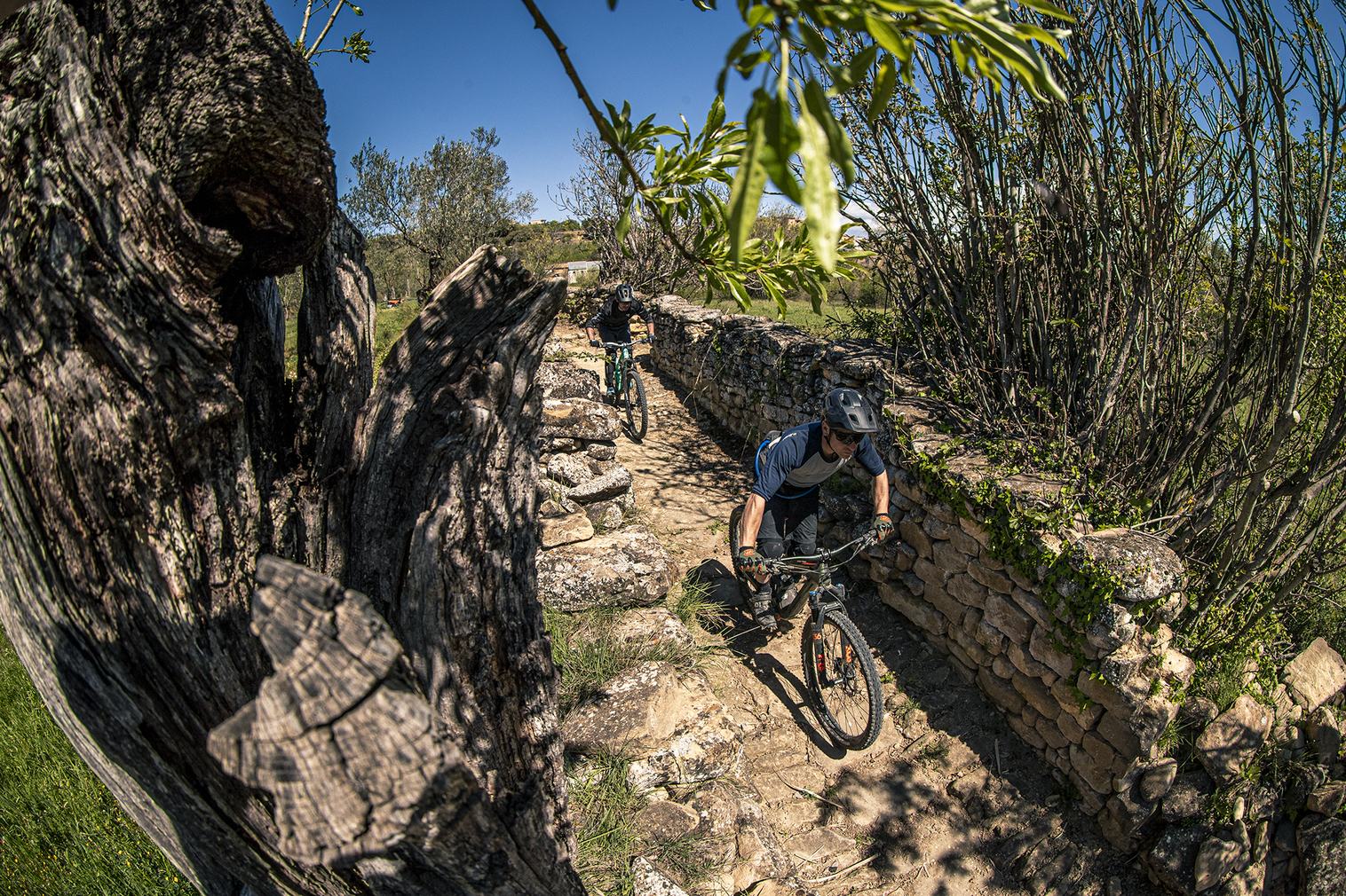
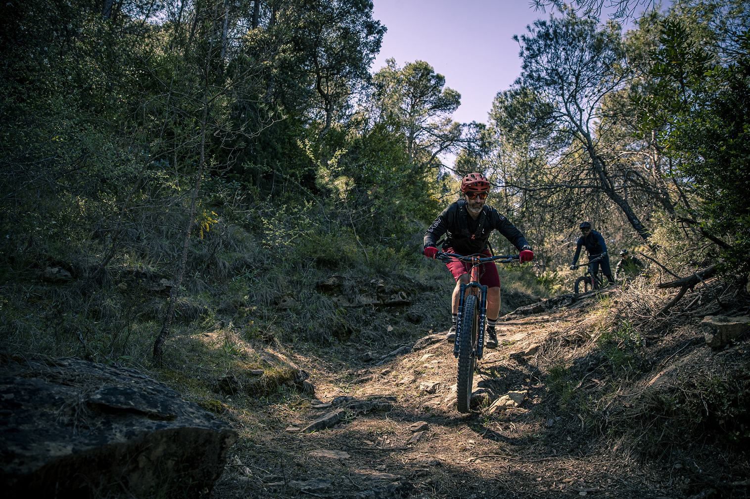
The track gives access to the village, flanks it on the left side and continues until you reach a crossroad. At this point, turn left and begin to descend along a stretch of old track until you reach the start of the old Sierra Estronad trail. It is a short trail with curves in the pine forest that maintains a cobbled area, but without particularly technical steps. The trail reaches an
old building, crosses a ravine and ascends back to the track that previously ascended to Sierra Estronad.
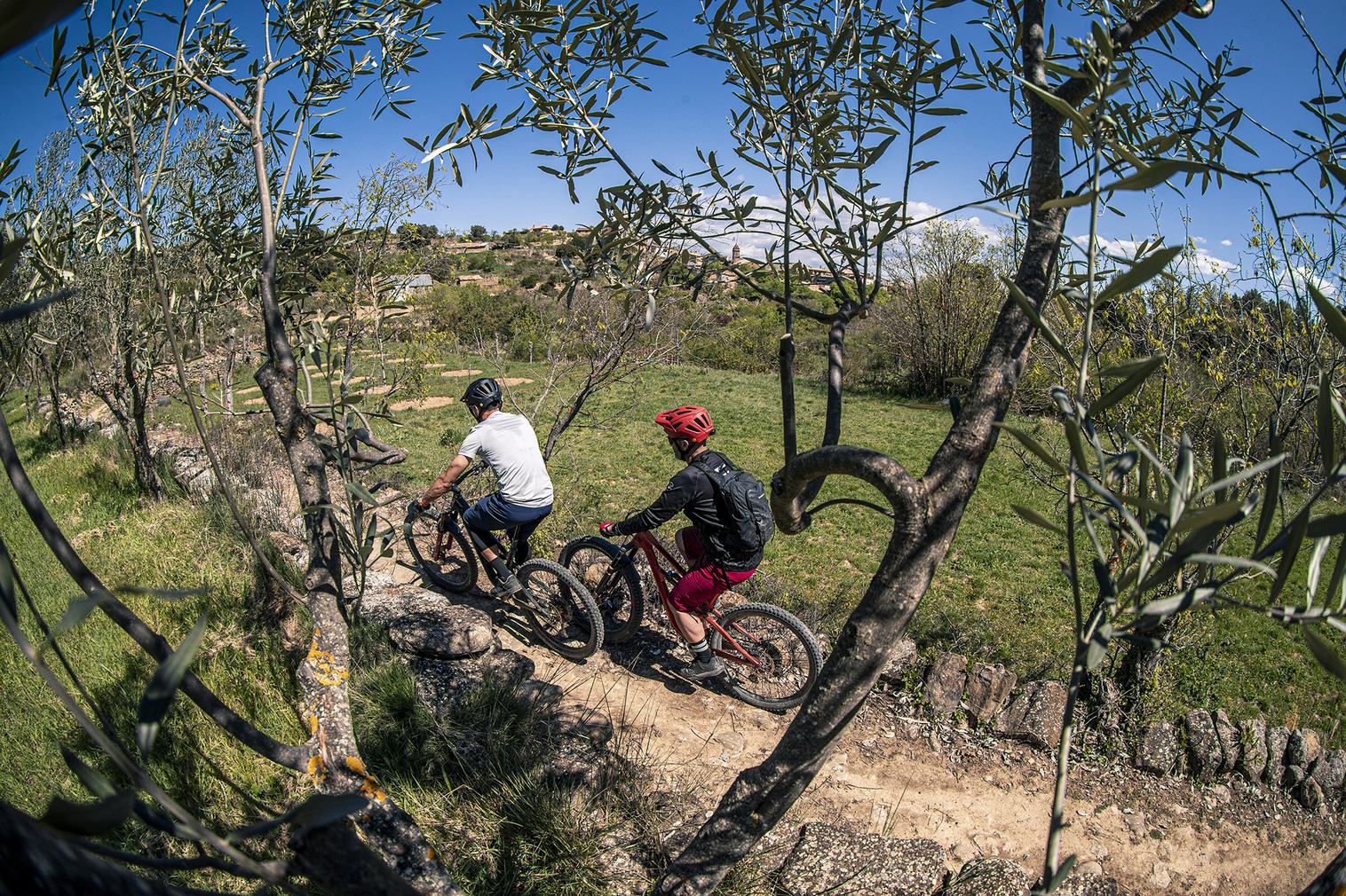
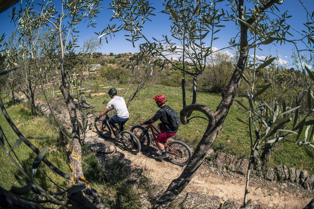
At this point the route turns right and continues to a junction where you have to turn left towards an olive grove, to enter a wide path with sandstone floor and steps with uphill and downhill section and leading to the track that ascends to the hermitage of Santa Quiteria.
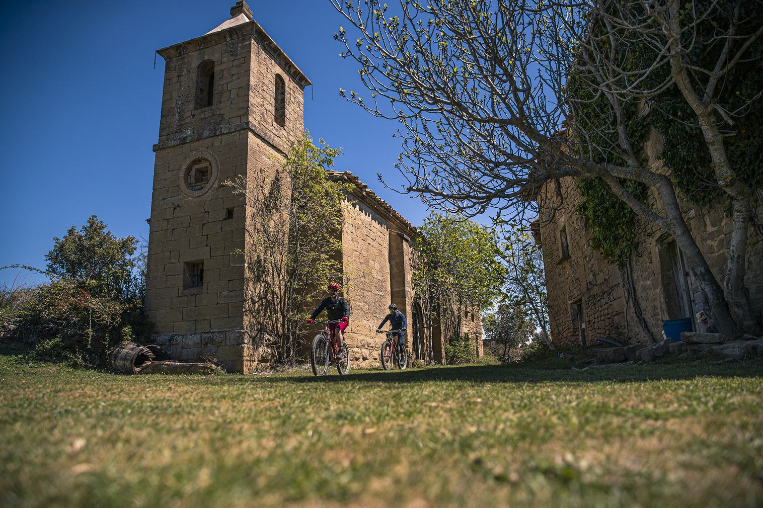
Upon reaching the main trail to Santa Quiteria, the route turns left and climbs up to the hermitage itself, ignoring the crossings to the right and left during the ascent. Upon reaching the hermitage, it connects with a path on the left. This is the old traditional path from Santa Eulalia de Gállego to the hermitage of Santa Quiteria. This hermitage is a good panoramic viewpoint of the surroundings of the Mallos Kingdom.
The trail descends through the pine forest with very fast stretches until it reaches again an old forest track. There you turn left to soon reach again the main track of Santa Quiteria and in this case, turn right to descend a little and then take a left, the last stretch of trail leading to Santa Eulalia de Gállego. This last section is on an old cobblestone path and has some
technical rock steps that add some difficulty to the downhill section.
The trail ends in the orchard area near Santa Eulalia and when you reach a wooden walkway with a sign indicating “Pozo de Hielo” and “Fuente dó Lugar”, it is recommended to turn left, cross the walkway and go to visit both the ice well and the fountain. The route is made up of a very nice path, with some uphill. When arriving at the Fuen do Lugar, it crosses and connects with a path and a half-trail that leads directly to Santa Eulalia de Gállego. When you reach the first houses, turn right and the street leads to the road next to the rural lodging Casa Felisa. To reach the starting point, continue along the road for a short stretch.