
The track of this route modifies the original 2019 trail and extends with the new descent from El Tejar to the Santa Eulalia de Gállego ravine.
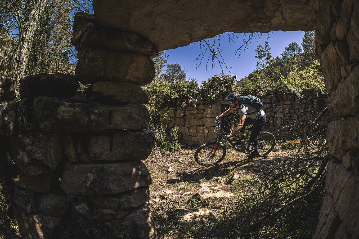
The journey begins at the southern entrance to the town of Santa Eulalia de Gállego, next to an information panel for a mountain biking route in the Hoya de Huesca region and a container area. The route starts on asphalt heading towards Ayerbe for 1 kilometer. Just before descending to the river and in front of a large holm oak tree, take a right onto an agricultural track that leads to a farm and then ascends through a pine forest to reach a pass. At the pass, the route turns left and enters the Sierra Estronad area. This is a restored village and private property where livestock also roam the vicinity. Visitors are kindly requested not to disturb the livestock or enter the restored urban area of Sierra Estronad without permission from the owners.
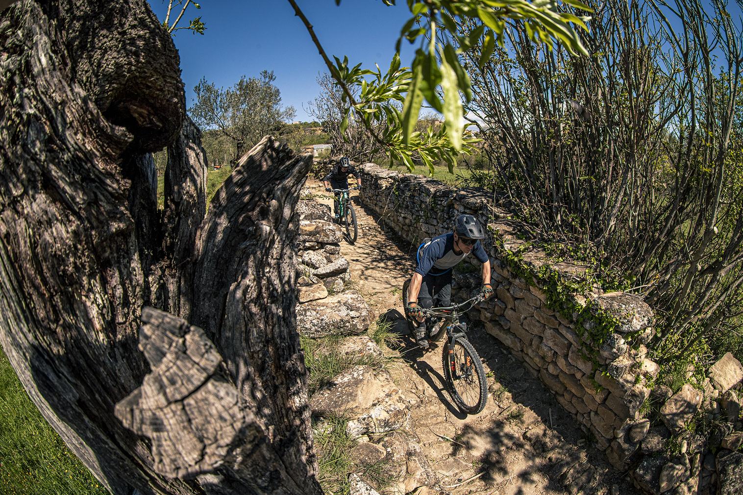
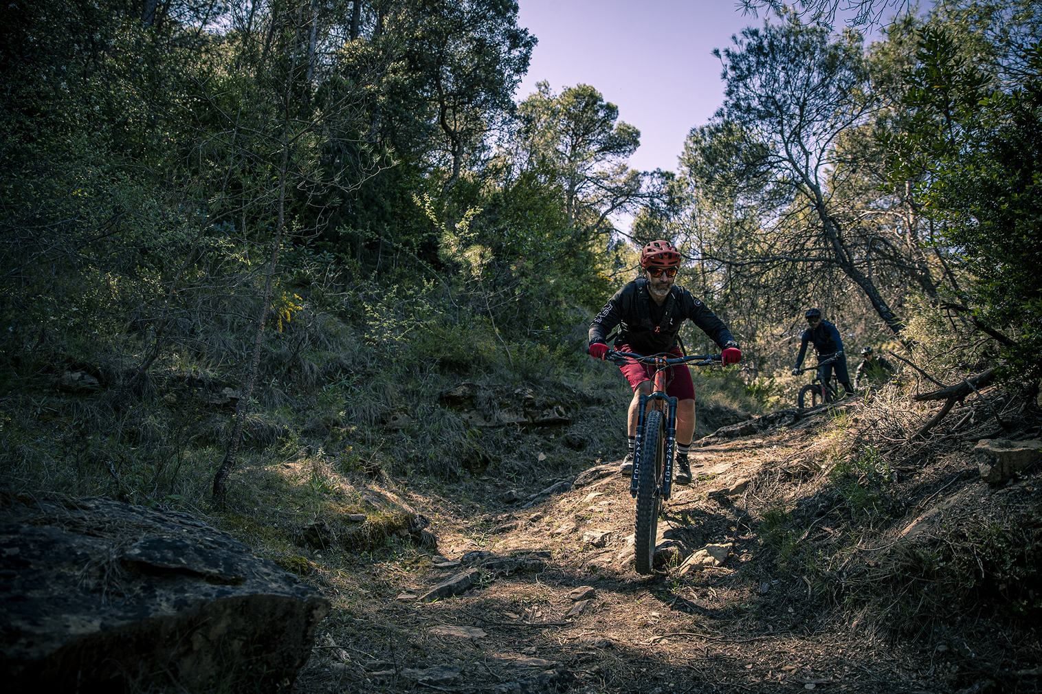
The track provides access to the hamlet, flanking it on the left side, and continues until reaching a crossroads. At this point, turn left and begin descending along an old track to reach the start of the ancient Sierra Estronad trail. This short trail winds through the pine forest, maintaining a cobbled surface with some slightly technical curves. The trail leads to an old building, crosses a ravine, and ascends back to the track previously used to ascend to Sierra Estronad.
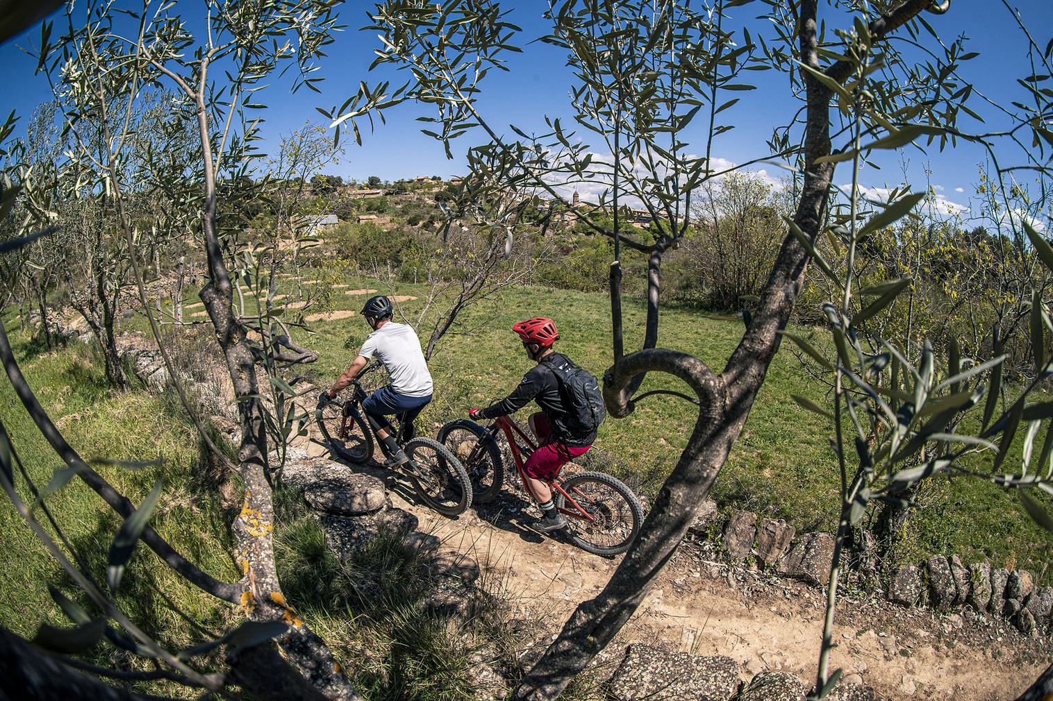
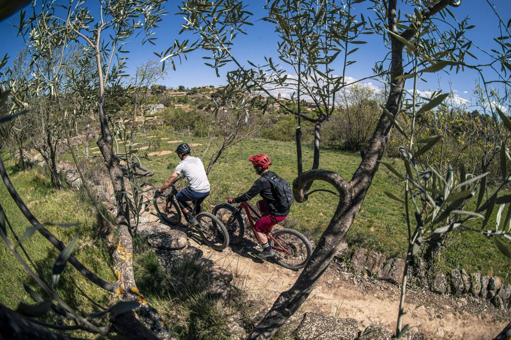
At this juncture, the route turns right and continues to another crossroads. Here, you must turn left towards an olive grove, entering a wide path lined with sandstone steps and ground. This path includes both uphill and downhill sections and leads to an old track ascending the north face towards the hermitage of Santa Quiteria.
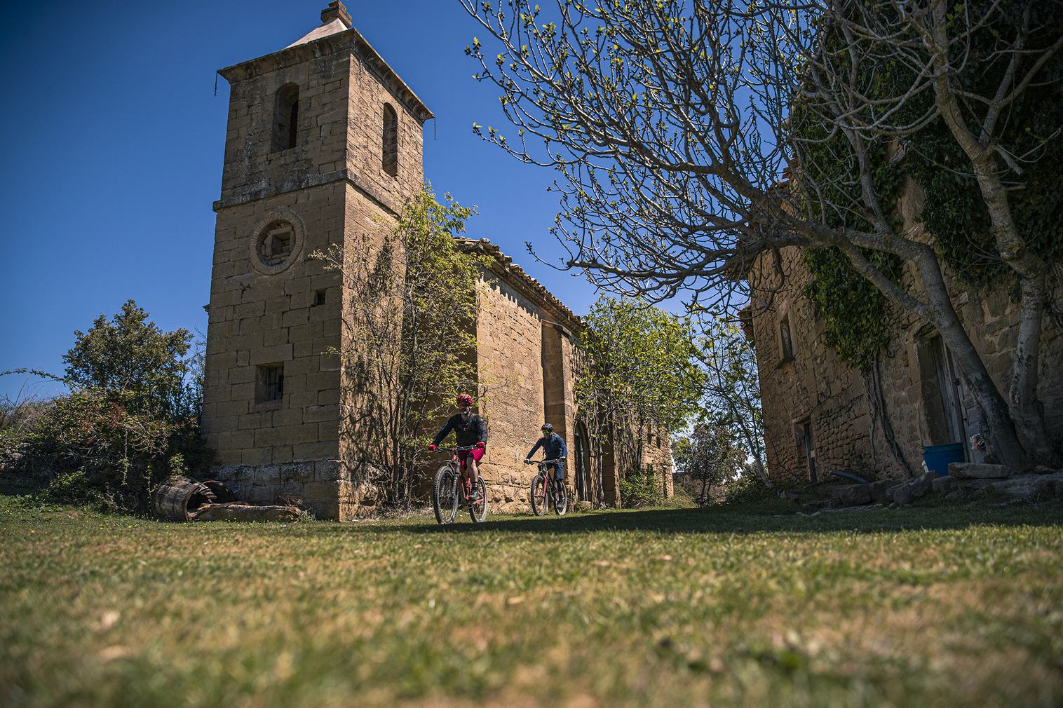
At this point, the trail turns to the right and continues until reaching a crossroads where you must turn left towards an olive grove. This leads to a wide path lined with ground and sandstone steps, with both uphill and downhill sections. The path then leads to an old track ascending the north face towards the hermitage of Santa Quiteria, crossing a field of almond trees beforehand. Upon arriving at the hermitage, it connects with a trail on the left. This trail is the ancient traditional path from Santa Eulalia de Gállego to the hermitage of Santa Quiteria. The hermitage itself offers a panoramic view of the Reino de los Mallos surroundings.
The trail descends rapidly through the pine forest, with some quick sections, until it crosses the main track. After crossing it, the trail continues along a section with jumps and a stone step. Upon reaching a track next to an almond field, the route ascends again towards the hermitage of Santa Quiteria. However, before reaching the hermitage, at a crossroads where a wooden sign indicates Barranco de Santa Eulalia de Gállego, turn right following the arrow. Continue on level ground, and just before reaching an old stone house on the left, you’ll arrive at the start of the El Tejar trail, which was restored in 2024. This trail begins in a pine forest area and then transitions to a section of traditional path with cobbled stretches, leading to the Santa Eulalia de Gállego ravine, right next to the old tile kiln (which can be visited from the rear to see the ancient oven). From here, return via the track and an old path lined with walls to the town of Santa Eulalia de Gállego.